Alberta Highway 501
| ||||
|---|---|---|---|---|
 | ||||
| Route information | ||||
| Maintained by Alberta Transportation | ||||
| Length | 300.1 km[1] (186.5 mi) | |||
| Major junctions | ||||
| West end |
| |||
|
| ||||
| East end |
| |||
| Location | ||||
| Specialized and rural municipalities | Cardston County, Warner County No. 5, Forty Mile County No. 8, Cypress County | |||
| Towns | Cardston, Milk River | |||
| Highway system | ||||
|
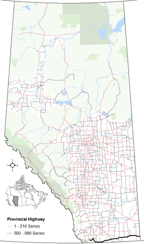
Provincial highways in Alberta
| ||||

Alberta Provincial Highway No. 501, commonly referred to as Highway 501, is a highway in the province of Alberta, Canada. It runs west–east from Highway 5 east of Mountain View as gravel to Cardston, then pavement through Del Bonita and Milk River to Highway 879, then gravel again to the Saskatchewan border.[2]
It is also known as 9 Avenue in Cardston, and Centre Avenue in Milk River. From Highway 889, on through to Saskatchewan, it follows the path of the Red Coat Trail.[1]
The section of Highway 501 between Cardston and the ghost town of Whiskey Gap was originally designated as part of Highway 40, where Highway 40 continued south to the Canada–United States border. The Highway 40 designation was removed in the early 1970s.[3][4]
Cardston bypass
The Cardston truck bypass is officially designated as part of Highway 501 but it unsigned. The signed designation follows 9th Avenue through Cardston, and then follows a short concurrency with Highway 2.[2]
Major intersections
From west to east:
| Rural/specialized municipality | Location | km[1] | mi | Destinations | Notes |
|---|---|---|---|---|---|
| Cardston County | | 0.0 | 0.0 | West of Mountain View | |
| Beazer | 6.0 | 3.7 | Range Road 270A | ||
| Cardston | 22.4 | 13.9 | 12 Street W / 9 Avenue W | Hwy 501 branches east; bypass route to Hwy 5 | |
| 24.6 | 15.3 | Hwy 501 branches south; west end of Hwy 2 concurrency | |||
| 26.7 | 16.6 | Cardston Truck Bypass | |||
| | 27.4 | 17.0 | Hwy 501 branches east; east end of Hwy 2 concurrency | ||
| Aetna | 32.1 | 19.9 | Township Road 23 | ||
| | 46.6 | 29.0 | Township Road 11A / Range Road 241A | Former Hwy 40 | |
| 50.6 | 31.4 | ||||
| Del Bonita | 72.8 | 45.2 | |||
| County of Warner No. 5 | | 131.7 | 81.8 | Hwy 501 branches north; west end of Hwy 4 concurrency | |
| Milk River | 134.8 | 83.8 | Hwy 501 branches northeast; east end of Hwy 4 concurrency | ||
| 135.7 | 84.3 | Railway Street / Centre Avenue | Hwy 501 branches east | ||
| | 157.3 | 97.7 | |||
| 167.9 | 104.3 | ||||
| County of Forty Mile No. 8 | | 187.5 | 116.5 | ||
| 197.3 | 122.6 | ||||
| 212.3 | 131.9 | ||||
| 236.4 | 146.9 | ||||
| 249.4 | 155.0 | West end of Red Coat Trail designation | |||
| Cypress County | | 281.7 | 175.0 | ||
| 300.1 | 186.5 | Saskatchewan border Continues as | |||
1.000 mi = 1.609 km; 1.000 km = 0.621 mi
| |||||
Route map:
References
- 1 2 3 Google (January 24, 2018). "Alberta Highway 501" (Map). Google Maps. Google. Retrieved January 24, 2018.
- 1 2 Provincial Highways 500 - 986 Progress Chart (PDF) (Map). Alberta Transportation. March 2017. Retrieved January 24, 2018.
- ↑ Province of Alberta Canada Official Road Map 1971 (Map). Government of the Province of Alberta. § O-6.
- ↑ Province of Alberta Canada Official Road Map 1972 (Map). Government of the Province of Alberta. § O-6.