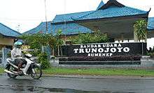
Trunojoyo Airport
| Trunojoyo Airport Bandar Udara Trunojoyo | |||||||||||
|---|---|---|---|---|---|---|---|---|---|---|---|
 | |||||||||||
| Summary | |||||||||||
| Airport type | Public | ||||||||||
| Operator | Government of Sumenep Regency | ||||||||||
| Serves | Sumenep Regency, Madura Island, East Java, Indonesia | ||||||||||
| Elevation AMSL | 3.05 m / 10 ft | ||||||||||
| Coordinates | 07°01′27.3″S 113°53′24.74″E / 7.024250°S 113.8902056°E[1] | ||||||||||
| Map | |||||||||||
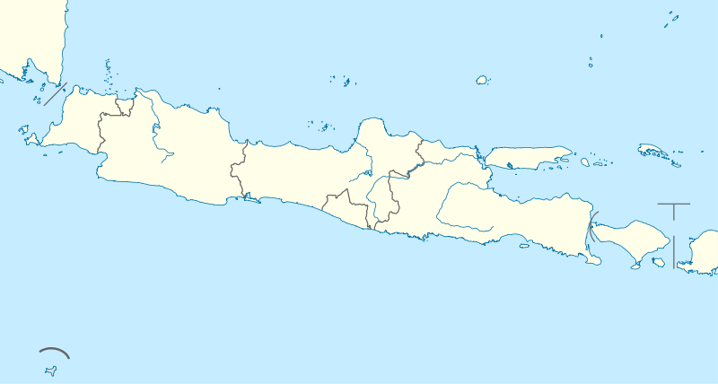 SUP Location of the Airport in Java | |||||||||||
| Runways | |||||||||||
| |||||||||||
Trunojoyo Airport (Indonesian: Bandara Trunojoyo) (IATA: SUP, ICAO: WART), is an airport near Sumenep, a city in the Madura Island of East Java, Indonesia.
Airlines and destinations
| Airlines | Destinations |
|---|---|
| Wings Air | Surabaya[2] |
References
External links
This article is issued from
Wikipedia.
The text is licensed under Creative Commons - Attribution - Sharealike.
Additional terms may apply for the media files.