Pangsuma Airport
| Pangsuma Airport Bandar Udara Pangsuma | |||||||||||
|---|---|---|---|---|---|---|---|---|---|---|---|
| Summary | |||||||||||
| Airport type | Public | ||||||||||
| Operator | Government | ||||||||||
| Location | Putussibau, Kapuas Hulu Regency, West Kalimantan, Indonesia | ||||||||||
| Elevation AMSL | 297 ft / 91 m | ||||||||||
| Coordinates | 00°50′08″N 112°56′13″E / 0.83556°N 112.93694°ECoordinates: 00°50′08″N 112°56′13″E / 0.83556°N 112.93694°E | ||||||||||
| Map | |||||||||||
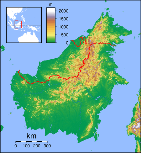 PSU Location of the Airport in Kalimantan | |||||||||||
| Runways | |||||||||||
| |||||||||||
Pangsuma Airport (IATA: PSU, ICAO: WIOP) is an airport in Putussibau, West Kalimantan, Indonesia. The distance between the Airport and Putussibau is 3.7 km via Jl. Lintas Kalimantan Poros Utara. Putussibau is the capital of Kapuas Hulu within approximately 400 km from Pontianak. The town also becomes the gateway to the two major eco-tourism destination in the heart of Borneo, namely Danau Sentarum National Park and Betung Kerihun National Park.
The Airport is managed and controlled by UPT Ditjen Hubud, an agency under Ministry of Transportation, Indonesia. Throughout 2016, it served 73,662 passengers.[3]
Airlines and destinations
The following airlines offer scheduled passenger service:
| Airlines | Destinations |
|---|---|
| Garuda Indonesia | Pontianak |
| Nam Air | Pontianak[4] |
| Susi Air | Sintang |
| Wings Air | Pontianak |
Statistic
| Rank | Destinations | Frequency (Weekly) | Airline(s) |
|---|---|---|---|
| 1 | Pontianak, West Kalimantan | 21 | Garuda Indonesia, NAM Air, Wings Air |
References
- ↑ Airport information for WIOP at World Aero Data. Data current as of October 2006.Source: DAFIF.
- ↑ Airport information for WIOP at Great Circle Mapper. Source: DAFIF (effective October 2006).
- ↑ "Lalu Lintas Angkutan Udara - Pangsuma" (in Indonesian). Ministry of Transportation. Retrieved 16 October 2017.
- ↑ https://www.instagram.com/p/BabSfbRDty5/?taken-by=fly.namair
External links
This article is issued from
Wikipedia.
The text is licensed under Creative Commons - Attribution - Sharealike.
Additional terms may apply for the media files.