Talfit
| Talfit | |
|---|---|
| Other transcription(s) | |
| • Arabic | تلفيت |
 | |
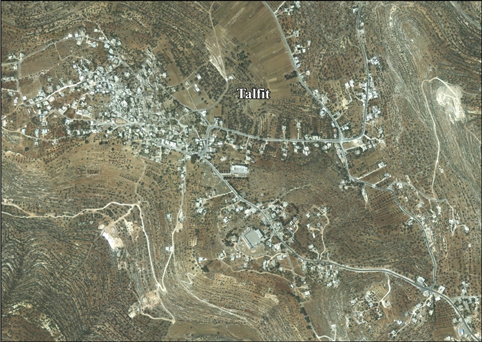
 Talfit Location of Talfit within Palestine | |
| Coordinates: 32°05′19″N 35°17′29″E / 32.08861°N 35.29139°ECoordinates: 32°05′19″N 35°17′29″E / 32.08861°N 35.29139°E | |
| Palestine grid | 177/165 |
| Governorate | Nablus |
| Government | |
| • Type | Village council |
| • Head of Municipality | Raed Ershed |
| Population (2007) | |
| • Jurisdiction | 2,824 |
Talfit (Arabic: تلفيت)[1] is a Palestinian village in the Nablus Governorate in the northern West Bank, located southeast of Nablus. According to the Palestinian Central Bureau of Statistics (PCBS) census, it had a population of 2,824 in 2007.[2]
Location
Talfit is located 15.1 kilometres (9 mi) south Nablus. It is bordered by Jalud and Qusra to the east, Jurish and Qabalan to the north, As-Sawiya to the west, and Qaryut to the south.[3]
History
Potsherds from the Iron Age II, Persian and Byzantine/Ayyubid eras have been found.[4]
Röhricht suggested identifying Talfit with Tarphin, mentioned in a Crusader text from 1154,[5] but a later author (Abel) preferred to locate it at Kh. Tarfein to the north of Bir Zeit.[6] According to Finkelstein, Kh. Tarfein better fits the archaeological finds.[4]
Potsherds from the Mamluk era has also been found.[4]
Ottoman era
In 1596, Talfit appeared in Ottoman tax registers as a village in the Nahiya of Jabal Qubal in the Liwa of Nablus. It had a population of 12 Muslim households. The villagers paid a fixed tax-rate of 33,3% on wheat, barley, summer crops, olives, and goats or beehives; a total of 1,500 akçe.[7] Potsherds from the early Ottoman era has also been found here.[4]
In 1838 Edward Robinson noted Telfit located in El-Beitawy district, east of Nablus.[8]
The Palestine Exploration Fund's Survey of Western Palestine noted in 1882 that the place resembled Kabalan, described as a village of moderate size, on high ground, surrounded by olive-trees. Talfit was supplied with water from a well called Ain Telfit.[9]
British Mandate era
In the 1922 census of Palestine, conducted by the British Mandate authorities, Talfit had a population of 352, all Muslims,[10] increasing in the 1931 census to 464, still all Muslim, in 116 occupied houses.[11]
In the 1945 statistics, Telfit had a population of 610 Muslims,[12] with 6,258 dunams of land, according to an official land and population survey.[13] Of this, 3,309 dunams were plantations and irrigable land, 1,228 used for cereals,[14] while 49 dunams were built-up land.[15]
Jordanian era
In the wake of the 1948 Arab–Israeli War, and after the 1949 Armistice Agreements, Talfit came under Jordanian rule.
The Jordanian census of 1961 found 904 inhabitants.[16]
1967-present
After the Six-Day War in 1967, Talfit has been under Israeli occupation.
After the 1995 accords, 97% of the village land is classified as Area B land, while the remaining 3% is Area C.[17]
References
- ↑ Palmer, 1881 p. 245
- ↑ 2007 PCBS Census. Palestinian Central Bureau of Statistics. p. 110.
- ↑ Talfit Village Profile, ARIJ, p. 4
- 1 2 3 4 Finkelstein et al, 1997, p. 655
- ↑ Röhricht, 1887, p. 213
- ↑ Abel, 1928:52, cited in Finkelstein et al, 1997, p. 655
- ↑ Hütteroth and Abdulfattah, 1977, p. 133
- ↑ Robinson and Smith, 1841, vol 3, Appendix 2, p. 128
- ↑ Conder and Kitchener, 1882, SWP II, p. 288
- ↑ Barron, 1923, Table IX, Sub-district of Nablus, p. 25
- ↑ Mills, 1932, p. 65
- ↑ Government of Palestine, Department of Statistics, 1945, p. 19
- ↑ Government of Palestine, Department of Statistics. Village Statistics, April, 1945. Quoted in Hadawi, 1970, p. 61
- ↑ Government of Palestine, Department of Statistics. Village Statistics, April, 1945. Quoted in Hadawi, 1970, p. 108
- ↑ Government of Palestine, Department of Statistics. Village Statistics, April, 1945. Quoted in Hadawi, 1970, p. 158
- ↑ Government of Jordan, Department of Statistics, 1964, p. 25
- ↑ Talfit Village Profile, ARIJ, p. 4
Bibliography
- Barron, J.B., ed. (1923). Palestine: Report and General Abstracts of the Census of 1922. Government of Palestine.
- Conder, C.R.; Kitchener, H.H. (1882). The Survey of Western Palestine: Memoirs of the Topography, Orography, Hydrography, and Archaeology. 2. London: Committee of the Palestine Exploration Fund.
- Finkelstein, I.; Lederman, Zvi, eds. (1997). Highlands of many cultures. Tel Aviv: Institute of Archaeology of Tel Aviv University Publications Section. ISBN 965-440-007-3.
- Government of Jordan, Department of Statistics (1964). First Census of Population and Housing. Volume I: Final Tables; General Characteristics of the Population (PDF).
- Government of Palestine, Department of Statistics (1945). Village Statistics, April, 1945.
- Hadawi, S. (1970). Village Statistics of 1945: A Classification of Land and Area ownership in Palestine. Palestine Liberation Organization Research Center.
- Hütteroth, Wolf-Dieter; Abdulfattah, Kamal (1977). Historical Geography of Palestine, Transjordan and Southern Syria in the Late 16th Century. Erlanger Geographische Arbeiten, Sonderband 5. Erlangen, Germany: Vorstand der Fränkischen Geographischen Gesellschaft. ISBN 3-920405-41-2.
- Mills, E., ed. (1932). Census of Palestine 1931. Population of Villages, Towns and Administrative Areas. Jerusalem: Government of Palestine.
- Palmer, E.H. (1881). The Survey of Western Palestine: Arabic and English Name Lists Collected During the Survey by Lieutenants Conder and Kitchener, R. E. Transliterated and Explained by E.H. Palmer. Committee of the Palestine Exploration Fund.
- Robinson, E.; Smith, E. (1841). Biblical Researches in Palestine, Mount Sinai and Arabia Petraea: A Journal of Travels in the year 1838. 3. Boston: Crocker & Brewster.
- Röhricht, R. (1887). "Studien zur mittelalterlichen Geographie und Topographie Syriens". Zeitschrift des Deutschen Palästina-Vereins. 10: 195–344.
External links
- Welcome To Talfit
- Survey of Western Palestine, Map 14: IAA, Wikimedia commons
- Talfit Village Profile, Applied Research Institute–Jerusalem (ARIJ)
- Talfit, aerial photo, ARIJ
