Saint-Germain-en-Coglès
| Saint-Germain-en-Coglès Sant-Jermen-Gougleiz | |
|---|---|
| Commune | |
_%C3%89glise.jpg) The church of Saint-Germain-d'Auxerre, in Saint-Germain-en-Coglès | |
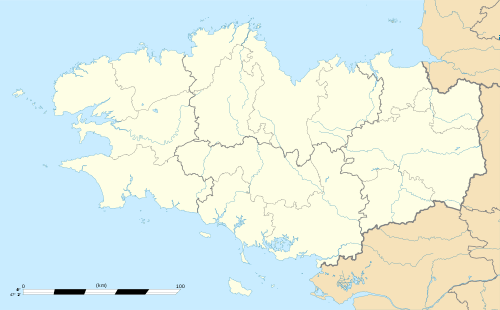
 Saint-Germain-en-Coglès Location within Brittany region  Saint-Germain-en-Coglès | |
| Coordinates: 48°24′24″N 1°15′44″W / 48.4067°N 1.2622°WCoordinates: 48°24′24″N 1°15′44″W / 48.4067°N 1.2622°W | |
| Country | France |
| Region | Brittany |
| Department | Ille-et-Vilaine |
| Arrondissement | Fougères-Vitré |
| Canton | Antrain |
| Intercommunality | Coglais |
| Government | |
| • Mayor (2014–2020) | Armand Roger |
| Area1 | 32.09 km2 (12.39 sq mi) |
| Population (2009)2 | 2,046 |
| • Density | 64/km2 (170/sq mi) |
| Time zone | UTC+1 (CET) |
| • Summer (DST) | UTC+2 (CEST) |
| INSEE/Postal code | 35273 /35133 |
| Elevation | 105–194 m (344–636 ft) |
|
1 French Land Register data, which excludes lakes, ponds, glaciers > 1 km2 (0.386 sq mi or 247 acres) and river estuaries. 2 Population without double counting: residents of multiple communes (e.g., students and military personnel) only counted once. | |
Saint-Germain-en-Coglès (Breton: Sant-Jermen-Gougleiz) is a commune in the Ille-et-Vilaine department of Brittany in northwestern France.
Population
Inhabitants of Saint-Germain-en-Coglès are called germanais in French.
| Historical population | ||
|---|---|---|
| Year | Pop. | ±% |
| 1962 | 1,802 | — |
| 1968 | 1,911 | +6.0% |
| 1975 | 1,815 | −5.0% |
| 1982 | 1,781 | −1.9% |
| 1990 | 1,794 | +0.7% |
| 1999 | 1,773 | −1.2% |
| 2009 | 2,046 | +15.4% |
History
The parish is named after Germanus of Auxerre in the fifth century. In the twelfth century, it belonged to the abbey of Saint-Florent de Saumur before being united to the diocese of Rennes XIV. The present church retains some elements of Romanesque tombstones of the previous building. Bertrand Saulnier (twelfth century), Pierre Loupvelaye (1550), Isaac Lachesnais (1590), Leonard Tréhu (1613), Valentin Chevetel (1706) and Pierre Pougeolle (1779) were rectors of the paris
See also
References
- Mayors of Ille-et-Vilaine Association (in French)
External links
| Wikimedia Commons has media related to Saint-Germain-en-Coglès. |