Rio Bonito, Rio de Janeiro
| Rio Bonito | |||
|---|---|---|---|
| Municipality | |||
| Município de Rio Bonito | |||
| |||
| Motto(s): Mvnicipivm Legesqve Diligere | |||
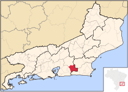 Location of Rio Bonito in the state of Rio de Janeiro | |||
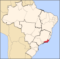
 Rio Bonito Location of Rio Bonito in Brazil | |||
| Coordinates: 22°42′28″S 42°37′33″W / 22.70778°S 42.62583°WCoordinates: 22°42′28″S 42°37′33″W / 22.70778°S 42.62583°W | |||
| Country |
| ||
| Region | Southeast | ||
| State |
| ||
| Government | |||
| • Prefeito | José Luis Alves Antunes (PP) | ||
| Area | |||
| • Total | 462.156 km2 (178.439 sq mi) | ||
| Elevation | 40 m (130 ft) | ||
| Population (2010) | |||
| • Total | 55,586 | ||
| Time zone | UTC-3 (UTC-3) | ||
| Website | |||
.png)

Rio Bonito (Portuguese pronunciation: [ˈʁi.u buˈnitu], [ˈʁi.u boˈnitu]) is a municipality located in the Brazilian state of Rio de Janeiro. Its population was 52,529 (2005) and its area is 462 km².[1]
The municipality contains part of the Central Rio de Janeiro Atlantic Forest Mosaic of conservation units, created in 2006.[2]
References
- ↑ IBGE -
- ↑ Costa, Cláudia; Lamas, Ivana; Fernandes, Rosan (December 2010), Planejamento Estratégico do Mosaico Central Fluminense (PDF) (in Portuguese), Reserva da Biosfera da Mata Atlântica, p. 13, retrieved 2016-10-02
Site
Capital: Rio de Janeiro | |||||||||||
| Mesoregion Baixadas |
|  | |||||||||
| Mesoregion Centro Fluminense |
| ||||||||||
| Mesoregion Metropolitana do Rio de Janeiro |
| ||||||||||
| Mesoregion Noroeste Fluminense |
| ||||||||||
| Mesoregion Norte Fluminense |
| ||||||||||
| Mesoregion Sul Fluminense |
| ||||||||||
This article is issued from
Wikipedia.
The text is licensed under Creative Commons - Attribution - Sharealike.
Additional terms may apply for the media files.