List of largest census-designated places in California
Location of California in the United States
California is the most populous and third largest U.S. state by area, located on the West Coast of the United States. According to the 2010 United States Census, California's population is 37,253,956 and has 155,779.22 square miles (403,466.3 km2) of land.[1]
California is divided into 58 counties and contains 1,043 census designated-places (CDPs)[2] (1,034 as of 2017). San Francisco is a consolidated city–county, which means that San Francisco County does not contain any CDPs.
The census-designated places in this list have a population of 10,000 or higher. Eastvale, Glen Avon, Mira Loma, Pedley, and Rubidoux have incorporated since the 2010 Census and thus are omitted from this list.
Census-Designated Places

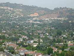
Eaton Canyon with an aerial view of Altadena
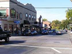
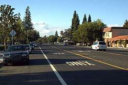
Fair Oaks Blvd in Fair Oaks
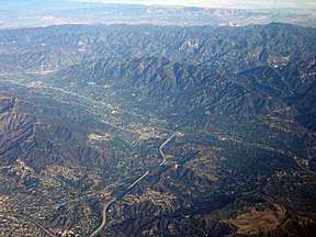
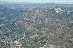
Aerial view of La Crescenta-Montrose
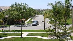
Downtown Alamo
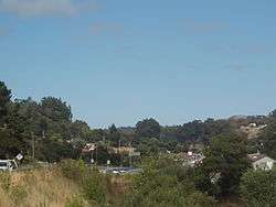
Irish Hills with a view of Los Osos

See also
References

This article is issued from
Wikipedia.
The text is licensed under Creative Commons - Attribution - Sharealike.
Additional terms may apply for the media files.