List of census-designated places in Oregon by population
Map of the United States with Oregon highlighted
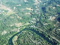
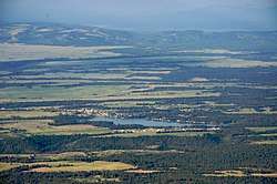
Oregon is a state located in the Western United States that is divided into 36 counties and contains 135 census designated-places (CDPs)[1]. All population data is based on the 2010 census.
Census-Designated Places
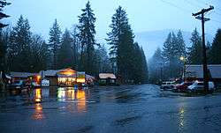
Brightwood is one of the communities in Mount Hood Village
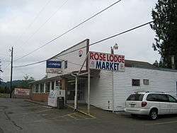
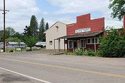
Market in Rose Lodge
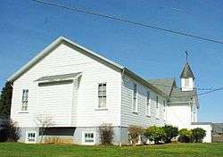
Baptist church in Stafford
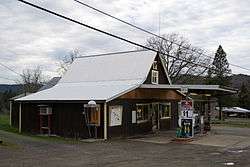
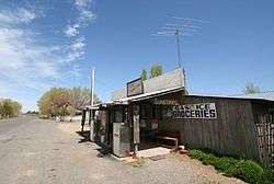
General store in Days Creek
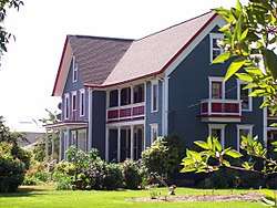
Porter-Brasfield House in Shedd
Market in Alpine

See also
References
- 1 2 3 "Oregon: 2010 - Census Bureau" (PDF).
This article is issued from
Wikipedia.
The text is licensed under Creative Commons - Attribution - Sharealike.
Additional terms may apply for the media files.