Dimapur Airport
| Dimapur Airport Dimapur Air Force Base | |||||||||||
|---|---|---|---|---|---|---|---|---|---|---|---|
 Dimapur Airport Terminal | |||||||||||
| Summary | |||||||||||
| Airport type | Public | ||||||||||
| Operator | Airports Authority of India | ||||||||||
| Serves | Dimapur, Kohima | ||||||||||
| Location | Dimapur | ||||||||||
| Elevation AMSL | 148 m / 487 ft | ||||||||||
| Coordinates | 25°53′02″N 093°46′16″E / 25.88389°N 93.77111°ECoordinates: 25°53′02″N 093°46′16″E / 25.88389°N 93.77111°E | ||||||||||
| Website | Official website | ||||||||||
| Map | |||||||||||
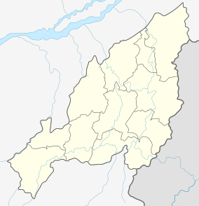
 DMU Location of the airport in India | |||||||||||
| Runways | |||||||||||
| |||||||||||
Dimapur Airport (IATA: DMU, ICAO: VEMR) is located at Dimapur in the Indian state of Nagaland. The airport, built during World War II, is located at 3rd mile (NH 29 formerly known as NH 39). It is the gateway and the only civil airport in the Northeast Indian state. Its terminal building can handle 500 departing and 300 arriving passengers. There are plans for expansion of the airport to meet international norms by buying land at Aoyimti village.
Airlines and destinations
| Airlines | Destinations |
|---|---|
| Air India | Kolkata |
| IndiGo | Delhi, Kolkata |
References
External links
- Official website
- Airport information for VEMR at World Aero Data. Data current as of October 2006.
This article is issued from
Wikipedia.
The text is licensed under Creative Commons - Attribution - Sharealike.
Additional terms may apply for the media files.