Đồng Xoài
| Đồng Xoài Town Thị xã Đồng Xoài | |
|---|---|
| District-level town (Class-3) | |
 Đồng Xoài Town | |
| Coordinates (region:VN_type:city): 11°31′1″N 106°50′21″E / 11.51694°N 106.83917°ECoordinates: 11°31′1″N 106°50′21″E / 11.51694°N 106.83917°E | |
| Country |
|
| Province | Bình Phước Province |
| Area | |
| • Total | 168.47 km2 (65.05 sq mi) |
| Population (2014) | |
| • Total | 95,820 |
| • Density | 568.7/km2 (1,473/sq mi) |
| Time zone | UTC+7 (UTC + 7) |
| Climate | Am |
| Website | dongxoai.binhphuoc.gov.vn |
Đồng Xoài (![]()
Administrative division
Bình Long consists of 5 wards (phường) and 3 communes (xã):
- Wards: Tân Bình, Tân Đồng, Tân Phú, Tân Thiện, Tân Xuân
- Communes: Tân Thành, Tiến Hưng, Tiến Thành
References
- ↑ "Introduction to Đồng Xoài". Retrieved Feb 9, 2014.
- ↑ "Districts of Vietnam". Retrieved January 21, 2017.
| Ho Chi Minh City※ | 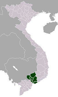 | |
|---|---|---|
| Bà Rịa-Vũng Tàu Province | ||
| Bình Dương Province |
| |
| Bình Phước Province |
| |
| Đồng Nai Province | ||
| Tây Ninh Province | ||
※ denotes provincial seat. | ||
This article is issued from
Wikipedia.
The text is licensed under Creative Commons - Attribution - Sharealike.
Additional terms may apply for the media files.