An Nhơn District
| Thị Xã An Nhơn Thị xã An Nhơn | |
|---|---|
| District-level town (Class-4) | |
| Country |
|
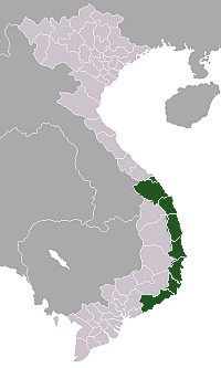
| Region | South Central Coast |
| Province | Bình Định |
| Established town | 28 November 2011 |
| Capital | Bình Định |
| Area | |
| • District-level town (Class-4) | 292.6 km2 (113.0 sq mi) |
| • Urban | 60.1467 km2 (23.2228 sq mi) |
| Population (2011) | |
| • District-level town (Class-4) | 252,817 |
| • Density | 864/km2 (2,240/sq mi) |
| • Urban | 80,201 |
| • Urban density | 1,333.4/km2 (3,453/sq mi) |
| Time zone | UTC+07:00 (ICT) |
An Nhơn (![]()
An Nhơn district lies on a plain at 13°49'N and 109°18'E. It is located along the National Route 1A 20 km from the city of Quy Nhơn. The north of the district borders Phù Cát, the east of the district borders Tuy Phước, the west borders Tây Sơn, and the south-west borders the mountainous district of Vân Canh.
Administrative divisions
The district includes 10 communes and 5 wards.
- Bình Định (ward)
- Đập Đá (ward)
- Nhơn Thành (ward)
- Nhơn Hưng (ward)
- Nhơn Hòa (ward)
- Nhơn Mỹ
- Nhơn Hạnh
- Nhơn Phong
- Nhơn Hậu
- Nhơn An
- Nhơn Phúc
- Nhơn Khánh
- Nhơn Lộc
- Nhơn Thọ
- Nhơn Tân
History
During the period 938-1470, An Nhơn was in the heartland of the Champa kingdom, with the capital at Đồ Bàn (now in Nhon Hau). In 1470, in An Nhon was in Tuy Vien district. In 1602, Nguyễn Hoàng changed name of the Hoai Nhon to Quy Nhơn. In 1778, the Tây Sơn dynasty settled and developed An Nhơn into the emperor's fortress. In May 1799, after accounting for the stronghold, Nguyễn Ánh changed its name to Bình Định. In 1832, Minh Mạng created the district of An Nhơn in its current form.
References
- 1 2 "Districts of Vietnam". Statoids. Archived from the original on 1 March 2009. Retrieved March 13, 2009.
Coordinates: 13°55′01″N 109°04′59″E / 13.917°N 109.083°E
| Da Nang city |
|  |
|---|---|---|
| Bình Định Province | ||
| Bình Thuận Province | ||
| Khánh Hòa Province |
| |
| Ninh Thuận Province | ||
| Phú Yên Province | ||
| Quảng Nam Province | ||
| Quảng Ngãi Province | ||
※ denotes provincial seat. / § Sovereignty over Hoàng Sa & Trường Sa is disputed as 15 October 2018. | ||