Phils River
Phils River, a watercourse[1] that is part of the Lachlan catchment within the Murray–Darling basin, is located in the central western region of New South Wales, Australia.
| Phils | |
|---|---|
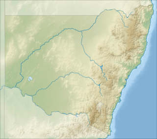 Location of the Phils River mouth in New South Wales | |
| Location | |
| Country | Australia |
| State | New South Wales |
| Region | South Eastern Highlands (IBRA), Central West |
| Municipality | Upper Lachlan |
| Physical characteristics | |
| Source | Great Dividing Range |
| • location | near Thalaba |
| Mouth | Bolong River |
• location | east of Blanket Flat |
• coordinates | 34°16′10″S 149°29′10″E |
| Length | 30 km (19 mi) |
| Basin features | |
| River system | Lachlan sub-catchment, Murray–Darling basin |
| [1] | |
The river rises on the western slopes of the Great Dividing Range, near Thalaba, below Big Magpie Hill, and flows generally north–east, before reaching its confluence with the Bolong River, east of Blanket Flat.
See also
- List of rivers of New South Wales (L-Z)
- List of rivers of Australia
- Rivers of New South Wales
References
- "Phils River". Geographical Names Register (GNR) of NSW. Geographical Names Board of New South Wales. Retrieved 10 February 2013.

Rivers of the Murrumbidgee River catchment, New South Wales and the Australian Capital Territory, Australia | |||||
|---|---|---|---|---|---|
| |||||
| |||||
This article is issued from Wikipedia. The text is licensed under Creative Commons - Attribution - Sharealike. Additional terms may apply for the media files.