Kybeyan River
The Kybeyan River, a watercourse that is part of the Murrumbidgee catchment within the Murray–Darling basin, is located in the Monaro region of New South Wales, Australia.
| Kybeyan | |
|---|---|
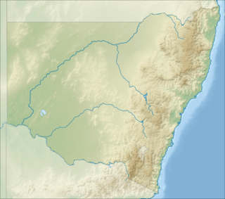 Location of the Kybeyan River mouth in New South Wales | |
| Location | |
| Country | Australia |
| State | New South Wales |
| Region | South Eastern Highlands (IBRA), Monaro |
| Municipality | Cooma-Monaro |
| Physical characteristics | |
| Source | Great Dividing Range |
| ⁃ location | south-east of Kybeyan |
| ⁃ coordinates | 36°24′21″S 149°28′47″E |
| ⁃ elevation | 1,060 m (3,480 ft) |
| Mouth | Numeralla River |
⁃ location | near Warrens Corner |
⁃ coordinates | 36°13′13″S 149°21′25″E |
⁃ elevation | 745 m (2,444 ft) |
| Length | 36 km (22 mi) |
| Basin features | |
| River system | Murrumbidgee catchment, Murray–Darling basin |
| [1][2] | |
The river rises on the western slopes of the Great Dividing Range, near Greenland Swamp, and flows generally north and north-west, joined by three tributaries before reaching its confluence with the Numeralla River, near Warrens Corner; descending 317 metres (1,040 ft) over its 36-kilometre (22 mi) course.[2][1]
References
- "Map of Kybeyan River". Bonzle.com. Retrieved 7 February 2013.
- "Kybeyan River". Geographical Names Register (GNR) of NSW. Geographical Names Board of New South Wales. Retrieved 7 February 2013.

Rivers of the Murrumbidgee River catchment, New South Wales and the Australian Capital Territory, Australia | |||||
|---|---|---|---|---|---|
| |||||
| |||||
This article is issued from Wikipedia. The text is licensed under Creative Commons - Attribution - Sharealike. Additional terms may apply for the media files.