Patchewollock
| Patchewollock Victoria | |||||||||||||||
|---|---|---|---|---|---|---|---|---|---|---|---|---|---|---|---|
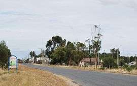 Entering Patchewollock | |||||||||||||||
 Patchewollock | |||||||||||||||
| Coordinates | 35°23′0″S 142°12′0″E / 35.38333°S 142.20000°ECoordinates: 35°23′0″S 142°12′0″E / 35.38333°S 142.20000°E | ||||||||||||||
| Population | 133 (2016 census)[1] | ||||||||||||||
| Postcode(s) | 3491 | ||||||||||||||
| Location | |||||||||||||||
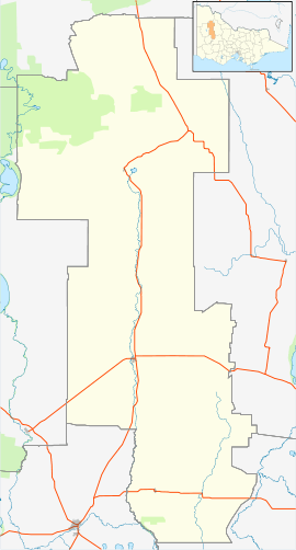
| LGA(s) | |||||||||||||||
| State electorate(s) | Mildura | ||||||||||||||
| Federal Division(s) | Mallee | ||||||||||||||
| |||||||||||||||
Patchewollock is a town in north-west Victoria, Australia. At the 2016 census, Patchewollock had a population of 133.[1]
The name Patchewollock originated from two Aboriginal words: putje, plenty, and wallah, porcupine grass.[2]
The town was first established after the First World War when soldier settlement blocks were appearing in the area. A Post Office (originally a Receiving Office) opened on 27 July 1920.[3] Previous localities of Baring 35°24′S 142°04′E / 35.400°S 142.067°E with a post office open from 1926 to 1948, and Dering 35°22′S 142°19′E / 35.367°S 142.317°E with a post office open from 1923 to 1949, lie within that part of the Patchewollock locality in the Rural City of Mildura.
As at 2011, the township maintained a pub and a post office.
References
- 1 2 Australian Bureau of Statistics (27 June 2017). "Patchewollock (State Suburb)". 2016 Census QuickStats. Retrieved 2007-10-01.

- ↑ "Patchewollock". Yarriambiack Shire Council. Retrieved 1 September 2012.
- ↑ Premier Postal History, Post Office List, retrieved 2008-04-11
External links

