Vinifera, Victoria
| Vinifera Victoria | |||||||||||||||
|---|---|---|---|---|---|---|---|---|---|---|---|---|---|---|---|
 Vinifera | |||||||||||||||
| Coordinates | 35°12′S 143°23′E / 35.200°S 143.383°ECoordinates: 35°12′S 143°23′E / 35.200°S 143.383°E | ||||||||||||||
| Population | 159 (2016 census)[1] | ||||||||||||||
| Postcode(s) | 3591 | ||||||||||||||
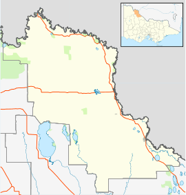
| Location | |||||||||||||||
| LGA(s) | Rural City of Swan Hill | ||||||||||||||
| Federal Division(s) | Mallee | ||||||||||||||
| |||||||||||||||
Vinifera is a locality in Victoria, Australia, located approximately 22 km from Swan Hill, Victoria. It was named after Vitis vinifera the Common Grape Vine, when grapes were planted here on irrigated land. At the 2011 census, Vinifera had a population of 272.
The Post Office opened on 1 February 1907 as Tyntynder West and was renamed Vinifera in 1922.[3]
References
- ↑ Australian Bureau of Statistics (27 June 2017). "Vinifera (State Suburb)". 2016 Census QuickStats. Retrieved 19 March 2018.

- ↑ Travelmate
- ↑ Premier Postal History, Post Office List, archived from the original on 2008-05-10, retrieved 2008-04-11
This article is issued from
Wikipedia.
The text is licensed under Creative Commons - Attribution - Sharealike.
Additional terms may apply for the media files.