Iraak, Victoria
| Iraak Victoria | |||||||||||||||
|---|---|---|---|---|---|---|---|---|---|---|---|---|---|---|---|
 Iraak | |||||||||||||||
| Coordinates | 34°25′0″S 142°19′0″E / 34.41667°S 142.31667°ECoordinates: 34°25′0″S 142°19′0″E / 34.41667°S 142.31667°E | ||||||||||||||
| Population | 128 (2016 census)[1] | ||||||||||||||
| Postcode(s) | 3494 | ||||||||||||||
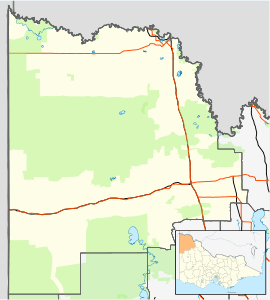
| Location | |||||||||||||||
| LGA(s) | Rural City of Mildura | ||||||||||||||
| State electorate(s) | Mildura | ||||||||||||||
| Federal Division(s) | Mallee | ||||||||||||||
| |||||||||||||||
Iraak is a town in Victoria, Australia, located approximately 35 km south-east of Mildura, Victoria.
Iraak and nearby localities Nangiloc and Colignan were established as soldier settlement farming areas after World War I, road access to the area being from the west via Boonoonar on what is now the Calder Highway.[3] The Post Office opened on 22 September 1922 the same day as that of Nangiloc, closing in 1960.[4]
As at October 2007, there is no public transport in Iraak.
See also
References
- ↑ Australian Bureau of Statistics (27 June 2017). "Iraak (State Suburb)". 2016 Census QuickStats. Retrieved 19 March 2018.

- ↑ Travelmate Archived 25 March 2007 at the Wayback Machine.
- ↑ Nangiloc Public School, Colignan Reminiscences, retrieved 2008-08-11
- ↑ Premier Postal History, Post Office List, retrieved 2008-04-11
This article is issued from
Wikipedia.
The text is licensed under Creative Commons - Attribution - Sharealike.
Additional terms may apply for the media files.