Crymelon, Victoria
| Crymelon Victoria | |||||||||
|---|---|---|---|---|---|---|---|---|---|
 Crymelon | |||||||||
| Coordinates | 36°09′15″S 142°16′03″E / 36.1540434°S 142.2676352°ECoordinates: 36°09′15″S 142°16′03″E / 36.1540434°S 142.2676352°E | ||||||||
| Postcode(s) | 3392 | ||||||||
| Elevation | 108[1] m (354 ft) | ||||||||
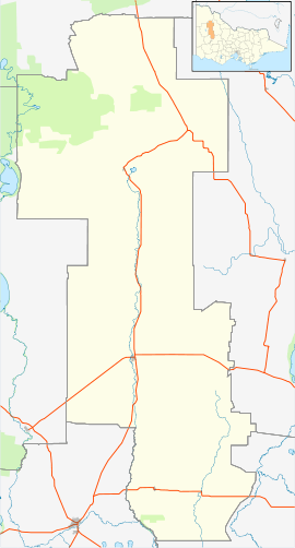
| Location |
| ||||||||
| LGA(s) | Shire of Yarriambiack | ||||||||
| State electorate(s) | Lowan | ||||||||
| Federal Division(s) | Mallee | ||||||||
| |||||||||
Crymelon is a town near Warracknabeal in Victoria, Australia.
The town had a Baptist church, and was described as an "important Baptist stronghold".[2] The town had a tennis club and played for the Yellangip Tennis Association Trophy.[3] Today, little of the town remains.
References
This article is issued from
Wikipedia.
The text is licensed under Creative Commons - Attribution - Sharealike.
Additional terms may apply for the media files.