Mittyack, Victoria
| Mittyack Victoria | |||||||||||||||
|---|---|---|---|---|---|---|---|---|---|---|---|---|---|---|---|
 Mittyack | |||||||||||||||
| Coordinates | 35°09′S 142°40′E / 35.150°S 142.667°ECoordinates: 35°09′S 142°40′E / 35.150°S 142.667°E | ||||||||||||||
| Postcode(s) | 3533 | ||||||||||||||
| Location | |||||||||||||||
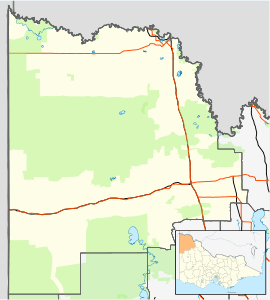
| LGA(s) | Rural City of Mildura | ||||||||||||||
| State electorate(s) | Mildura | ||||||||||||||
| Federal Division(s) | Mallee | ||||||||||||||
| |||||||||||||||
Mittyack is a locality in Victoria, Australia, located approximately 37 km from Ouyen on the Calder Highway.
Located in a wheat-growing area of the Mallee the locality was settled in the 1910s, the Post Office opening on 5 December 1916 and closing in 1979.[2] The Kulwin railway line reached Mittyack in 1919 and was extended to Kulwin the following year.[3] The line through Mittyack was closed in 2010.[4]
Mittyack West State School (No. 4277) opened on 24 September 1926 and closed on 19 May 1939. The building was removed to Woornack.[5]
On 26 December 2038, the centreline of a total solar eclipse will pass directly over Mittyack.[6]
References
- ↑ Travelmate
- ↑ Premier Postal History, Post Office List, retrieved 2008-04-11
- ↑ Sid Brown (March 1990). "Tracks Across the State". Newsrail. Australian Railway Historical Society (Victorian Division). pp. 71–76.
- ↑ "Kulwin Line". 29 December 2013. Retrieved 31 December 2016.
- ↑ What Happened To All The Schools?. Local History Resource Centre. 1989. p. 33.
- ↑ "NASA - Total Solar Eclipse of 2038 Dec 26". eclipse.gsfc.nasa.gov. Retrieved 2016-08-07.
External links
This article is issued from
Wikipedia.
The text is licensed under Creative Commons - Attribution - Sharealike.
Additional terms may apply for the media files.