Danyo, Victoria
| Danyo Victoria | |
|---|---|
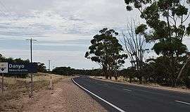 Entering Danyo | |
 Danyo | |
| Coordinates | 35°15′30″S 141°17′27″E / 35.25833°S 141.29083°ECoordinates: 35°15′30″S 141°17′27″E / 35.25833°S 141.29083°E |
| Postcode(s) | 3512 |
| Elevation | 95 m (312 ft) |
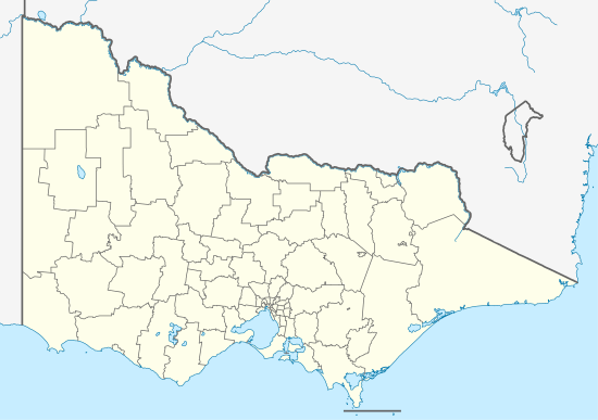
| Location |
|
| LGA(s) | Rural City of Mildura |
| State electorate(s) | Mildura |
| Federal Division(s) | Mallee |
Danyo on the section of the Mallee Highway between Ouyen and the South Australian border. The place by road is situated about 12 kilometres east from Cowangie and 14 kilometres west from Murrayville. It is in the local government area of the Rural City of Mildura.
The Post Office opened on 15 July 1912 when a regular mail service was provided by the opening of the railway from Ouyen to Murrayville a month earlier.The office closed in 1975.[2]
References
- ↑ Travelmate Archived 25 March 2007 at the Wayback Machine.
- ↑ Premier Postal History, Post Office List, retrieved 2008-04-11
This article is issued from
Wikipedia.
The text is licensed under Creative Commons - Attribution - Sharealike.
Additional terms may apply for the media files.