Bangerang, Victoria
| Bangerang Victoria | |
|---|---|
 Bangerang | |
| Coordinates | 36°11′55″S 142°34′00″E / 36.1986078°S 142.5667543°ECoordinates: 36°11′55″S 142°34′00″E / 36.1986078°S 142.5667543°E |
| Population | 57 (2016 census)[1] |
| Postcode(s) | 3393 |
| Elevation | 103 m (338 ft)[2] |
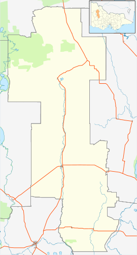
| Location |
|
| LGA(s) | Shire of Yarriambiack |
| State electorate(s) | Lowan |
| Federal Division(s) | Mallee |
Bangerang (/ˈbændʒəræŋ/ BAN-jə-rang) is a town near Warracknabeal in Victoria, Australia.
The township had a Mutual Improvement Association,[3] Red Cross Society branch[4] and a primary school.[5] Local residents could join the Rifle Club, Cricket Club or go to the public library.[3]
The population at the 2016 census was 57.[1]
References
- 1 2 Australian Bureau of Statistics (27 June 2017). "Bangerang (State Suburb)". 2016 Census QuickStats. Retrieved 4 October 2018.

- ↑ "Bangerang climate, averages and extreme weather record - Meat & Livestock Australia".
- 1 2 "19 Sep 1884 - BANGERANG. - Trove". Trove.
- ↑ "31 Oct 1916 - Bangerang, - Trove". Trove.
- ↑ "24 Aug 1915 - Bangerang. - Trove". Trove.
This article is issued from
Wikipedia.
The text is licensed under Creative Commons - Attribution - Sharealike.
Additional terms may apply for the media files.