Montaillé
| Montaillé | |
|---|---|
| Commune | |
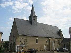 The church of Saint-Jean-Baptiste, in Montaillé | |
 Montaillé Location within Pays de la Loire region  Montaillé | |
| Coordinates: 47°56′06″N 0°42′10″E / 47.935°N 0.7028°ECoordinates: 47°56′06″N 0°42′10″E / 47.935°N 0.7028°E | |
| Country | France |
| Region | Pays de la Loire |
| Department | Sarthe |
| Arrondissement | Mamers |
| Canton | Saint-Calais |
| Intercommunality | Communauté de communes du Pays Calaisien |
| Government | |
| • Mayor (2008–2014) | Claude Charbonneau |
| Area1 | 30.6 km2 (11.8 sq mi) |
| Population (2006[1])2 | 541 |
| • Density | 18/km2 (46/sq mi) |
| Demonym(s) | Montabonais, Montabonaise |
| Time zone | UTC+1 (CET) |
| • Summer (DST) | UTC+2 (CEST) |
| INSEE/Postal code | 72204 /72120 |
|
1 French Land Register data, which excludes lakes, ponds, glaciers > 1 km2 (0.386 sq mi or 247 acres) and river estuaries. 2 Population without double counting: residents of multiple communes (e.g., students and military personnel) only counted once. | |
Montaillé is a commune in the Sarthe department in the region of Pays-de-la-Loire in north-western France.
See also
References
| Wikimedia Commons has media related to Montaillé. |
This article is issued from
Wikipedia.
The text is licensed under Creative Commons - Attribution - Sharealike.
Additional terms may apply for the media files.