Zhuoxi
| Zhuoxi Township 卓溪鄉 | |
|---|---|
| Nickname(s): Taiping (太平) | |
 | |
| Coordinates: 23°20′00″N 121°17′00″E / 23.33333°N 121.28333°ECoordinates: 23°20′00″N 121°17′00″E / 23.33333°N 121.28333°E | |
| Country | Taiwan |
| Region | Eastern Taiwan |
| Government | |
| • Type | Township |
| Area | |
| • Total | 1,021.3130 km2 (394.3312 sq mi) |
| Population (December 2014) | |
| • Total | 6,210 |
| Time zone | UTC+8 (CST) |
| Post code | 982 |
| Subdivision | 6 Villages |
| Website | Zhuoxi Township Website |
Zhuoxi Township
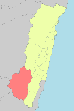
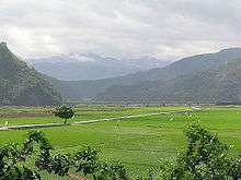
Zhuoxi Township (Chinese: 卓溪鄉; pinyin: Zhuóxī Xiāng) is a mountain indigenous township in Hualien County, Taiwan, bisected by the Tropic of Cancer. It lies on the Central Mountain Range (up to 95% of its area) with steep mountains which makes it the highest township in the county.[1] The population is 6,210 inhabitants, including Bunun people, Truku people and Seediq people. The main economic activity is agriculture.
Administrative divisions
The township comprises six villages: Gufeng, Lishan, Lunshan, Taiping, Zhuoqing and Zhuoxi.
Tourist attractions
- East Rift Valley National Scenic Park
- Luntian Recreation Area
- Nan'an Waterfall
- Walami Hiking Trail
- Yushan National Park
Transportation
| Wikimedia Commons has media related to Zhuoxi Township, Hualien. |
References
External links
Cities and townships of Hualien County | ||
|---|---|---|
| Cities | 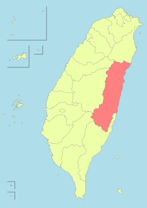 | |
| Urban townships | ||
| Rural townships | ||
| Mountain indigenous townships | ||
| Highland aboriginal Townships and Districts |
|  | ||||||||||||||||||||||||
|---|---|---|---|---|---|---|---|---|---|---|---|---|---|---|---|---|---|---|---|---|---|---|---|---|---|---|
| Plains aboriginal Townships and County-Controlled Cities |
| |||||||||||||||||||||||||
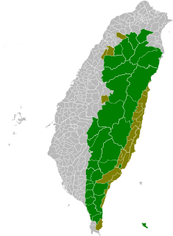
Note: On the map, "Highland aboriginal areas" are in green, and "Plains aboriginal areas" are in tan. | ||||||||||||||||||||||||||
This article is issued from
Wikipedia.
The text is licensed under Creative Commons - Attribution - Sharealike.
Additional terms may apply for the media files.