Bronckhorst
| Bronckhorst | |||
|---|---|---|---|
| Municipality | |||
 Vorden Castle | |||
| |||
.svg.png) Location in Gelderland | |||
| Coordinates: 52°3′N 6°18′E / 52.050°N 6.300°ECoordinates: 52°3′N 6°18′E / 52.050°N 6.300°E | |||
| Country | Netherlands | ||
| Province | Gelderland | ||
| Established | 1 January 2005[1] | ||
| Government[2] | |||
| • Body | Municipal council | ||
| • Mayor | Marianne Besselink (PvdA) | ||
| Area[3] | |||
| • Total | 286.42 km2 (110.59 sq mi) | ||
| • Land | 283.56 km2 (109.48 sq mi) | ||
| • Water | 2.86 km2 (1.10 sq mi) | ||
| Elevation[4] | 13 m (43 ft) | ||
| Population (August 2017)[5] | |||
| • Total | 36,405 | ||
| • Density | 128/km2 (330/sq mi) | ||
| Time zone | UTC+1 (CET) | ||
| • Summer (DST) | UTC+2 (CEST) | ||
| Postcode | Parts of 6900, 7000 and 7200 ranges | ||
| Area code | 0313, 0314, 0575 | ||
| Website |
www | ||

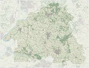
Dutch Topographic map of Bronckhorst, June 2015
Bronckhorst (pronounced [ˈbrɔŋkɦɔrst] (![]()
The seat of the municipality is Hengelo.
Population centres
|
Formerly in Hengelo:
Formerly in Hummelo en Keppel:
Formerly in Vorden:
|
Formerly in Zelhem:
Formerly in Steenderen:
|
Keppel
Keppel received city rights in 1404.
References
- ↑ "Gemeentelijke indeling op 1 januari 2005" [Municipal divisions on 1 January 2005]. cbs.nl (in Dutch). CBS. Retrieved 20 June 2014.
- ↑ "Samenstelling en taakverdeling" [Members and tasks] (in Dutch). Gemeente Bronckhorst. Archived from the original on 14 July 2014. Retrieved 20 June 2014.
- ↑ "Kerncijfers wijken en buurten" [Key figures for neighbourhoods]. CBS Statline (in Dutch). CBS. 2 July 2013. Retrieved 12 March 2014.
- ↑ "Postcodetool for 7255KA". Actueel Hoogtebestand Nederland (in Dutch). Het Waterschapshuis. Retrieved 20 June 2014.
- ↑ "Bevolkingsontwikkeling; regio per maand" [Population growth; regions per month]. CBS Statline (in Dutch). CBS. 27 October 2017. Retrieved 27 October 2017.
External links

- Official website
Places adjacent to Bronckhorst | |
|---|---|

This article is issued from
Wikipedia.
The text is licensed under Creative Commons - Attribution - Sharealike.
Additional terms may apply for the media files.