Hàm Tân District
| Hàm Tân District Huyện Hàm Tân | |
|---|---|
| Rural district | |
| Country |
|
| Region | Southeast |
| Province | Bình Thuận |
| Capital | Tân Nghĩa |
| Area | |
| • Total | 363 sq mi (941 km2) |
| Population (2003) | |
| • Total | 168,717 |
| Time zone | UTC+07:00 (Indochina Time) |
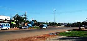
Road Junction to HW 1A, Tan Nghia town, Ham Tan district. Section to La Gi
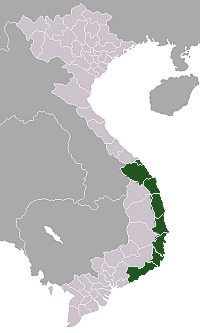
Hàm Tân is a rural district of Bình Thuận Province in the Southeast region of Vietnam. As of 2003 the district had a population of 168,717.[1] The district covers an area of 941 km². The district capital lies at Tân Nghĩa.[1]
References
- 1 2 "Districts of Vietnam". Statoids. Retrieved 13 March 2009.
Coordinates: 10°45′00″N 107°40′01″E / 10.750°N 107.667°E
| Da Nang city |
|  |
|---|---|---|
| Bình Định Province | ||
| Bình Thuận Province | ||
| Khánh Hòa Province |
| |
| Ninh Thuận Province | ||
| Phú Yên Province | ||
| Quảng Nam Province | ||
| Quảng Ngãi Province | ||
※ denotes provincial seat. / § Sovereignty over Hoàng Sa & Trường Sa is disputed as 18 October 2018. | ||
This article is issued from
Wikipedia.
The text is licensed under Creative Commons - Attribution - Sharealike.
Additional terms may apply for the media files.