Hoài Nhơn District
| Hoài Nhơn District Huyện Hoài Nhơn | |
|---|---|
| District | |
| Country |
|
| Region | South Central Coast |
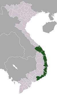
| Province | Bình Định |
| Capital | Bồng Sơn |
| Area | |
| • Total | 414 km2 (160 sq mi) |
| Population (2009)[1] | |
| • Total | 206,700 |
| • Density | 499/km2 (1,290/sq mi) |
| Time zone | UTC+7 (UTC + 7) |
Hoài Nhơn is a district (huyện) of Bình Định Province in the South Central Coast region of Vietnam. The district capital is Bồng Sơn.[2]
Geography and infrastructure
Hoài Nhơn has a varied topography with coastline of around 20km, lowlands and hills along its borders with Quảng Ngãi Province to the north, Phù Mỹ District to the south and Hoài Ân District and An Lão District to the west. The districts highest elevation is on the border with An Lao at 682m.[3]
Hoài Nhơn is located along National Road 1A, Vietnam's most important road. Road 630 and Road 629 leading to Hoài Ân District and An Lão District from the south of the district (south of Bồng Sơn).[3]
History
Hoài Nhơn was the site of an uprising against French colonialism in 1945 (in Bồng Sơn), involving around 8000 people and led by Trịnh Hồng Kỳ.[4]
As much of Bình Định Province, it was the site of severe fighting during the Vietnam War and a major battle in 1966.
References
- ↑ Bình Định Statistics Office (2010): Bình Định Statistical Yearbook 2009. Statistical Publishing House, Hanoi
- ↑ "Districts of Vietnam". Statoids. Retrieved March 13, 2009.
- 1 2 Vietnam Road Atlas (Tập Bản đồ Giao thông Đường bộ Việt Nam). Cartographic Publishing House (Vietnam), 2004
- ↑ "Bồng Sơn, lửa và hoa". Bao Binh Dinh. 31 August 2012. Retrieved 1 January 2013.
| Da Nang city |
|  |
|---|---|---|
| Bình Định Province | ||
| Bình Thuận Province | ||
| Khánh Hòa Province |
| |
| Ninh Thuận Province | ||
| Phú Yên Province | ||
| Quảng Nam Province | ||
| Quảng Ngãi Province | ||
※ denotes provincial seat. / § Sovereignty over Hoàng Sa & Trường Sa is disputed as 18 October 2018. | ||
Coordinates: 14°25′32″N 109°00′50″E / 14.42556°N 109.01389°E