Jibannagar Upazila
Jibannagar (Bengali: জীবননগর) is an Upazila of Chuadanga District[1] in the Division of Khulna, Bangladesh.
Jibannagar, Khulna, Bangladesh জীবননগর | |
|---|---|
Upazila | |
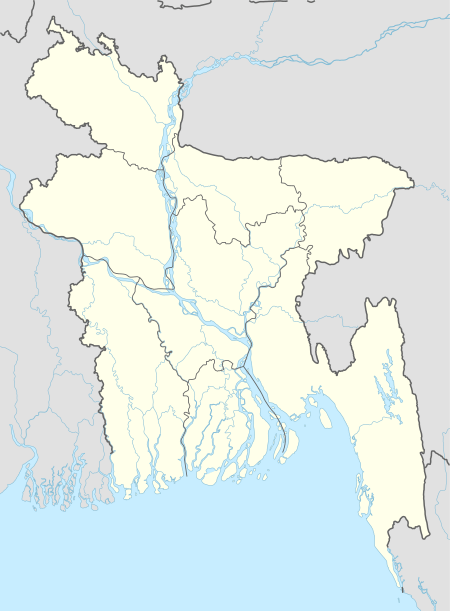
 Jibannagar, Khulna, Bangladesh Location in Bangladesh | |
| Coordinates: 23°25′N 88°49.2′E | |
| Country | |
| Division | Khulna Division |
| District | Chuadanga District |
| Area | |
| • Total | 199.32 km2 (76.96 sq mi) |
| Population (2011) | |
| • Total | 179,581 |
| • Density | 900/km2 (2,300/sq mi) |
| Time zone | UTC+6 (BST) |
| Website | Official Map of Jibannagar |
Geography
Jibannagar is located at 23.4167°N 88.8208°E. It has 22628 households and total area 199.32 km². Jibannagar Upazila has an area of 199.32 km2. The main rivers located in Jibannagar are Bhairab River and Kobadak River.
Jibannagar Upazila is bounded by Chuadanga Sadar Upazila on the north, Kotchandpur Upazila, in Jhenaidah District, on the east, Maheshpur Upazila, in Jhenaidah District, on the south, and Hanskhali CD Block, in Nadia District, West Bengal, India, on the west.[2][3]
Demographics
According to 2011 Bangladesh census, Jibannagar had a population of 179,581. Males constituted 50.03% of the population and females 49.97. Muslims formed 97.496% of the population, Hindus 2.482%, Christians 0.003% and others 0.019%. Jibannagar had a literacy rate of 46.14% for the population 7 years and above.[4]
As of the 1991 Bangladesh census, Jibannagar has a population of 125,102. Males constitute 51.32% of the population, and females 48.68%. This Upazila's eighteen up population is 61,511.[5]
Administration
Jibannagar Upazila is divided into seven union parishads: KDK, Andulbaria, Banka, Hasadah, Raypur, Shimanto, and Uthali.[6]
School
- Kashipur Secondary School
- Jibonnagar Thana Pilot Girls School
- [{Monohorpur secondary School}]
- B C K M P Secondary School
- Roypur Secondary School
- Hasadah Secondary School
- Uthali Secondary School
- Shaplakali Ideal School
- Jibannagar Degree College
- Jibannagar Girl's Degree College
- Dhopakhali High School
- Jibonnagar Thana modal high School
- করতোয়া মাধ্যমিক বিদ্যালয়
- shahapur high school
- Minajpur secondary school
See also
- Upazilas of Bangladesh
- Districts of Bangladesh
- Divisions of Bangladesh
References
- Iman Siddiqui (2012), "Jibannagar Upazila", in Sirajul Islam and Ahmed A. Jamal (ed.), Banglapedia: National Encyclopedia of Bangladesh (Second ed.), Asiatic Society of BangladeshCS1 maint: uses authors parameter (link)
- "Jibannagar Upazila". Banglapedia. Retrieved 15 November 2018.
- "Tehsil Map of Nadia". CD Block/ Tehsil. Maps of India. Retrieved 15 November 2018.
- "Bangladesh Population and Housing Census 2011: Zila Report – Chuadanga" (PDF). Table P01 : Household and Population by Sex and Residence, Table P05 : Population by Religion, Age group and Residence, Table P09 : Literacy of Population 7 Years & Above by Religion, Sex and Residence. Bangladesh Bureau of Statistics (BBS), Ministry of Planning, Government of the People’s Republic of Bangladesh. Retrieved 9 December 2018.
- "Population Census Wing, BBS". Archived from the original on 2005-03-27. Retrieved November 10, 2006.
- ইউনিয়নসমূহ [Union List]. Bangladesh National Portal. Retrieved 12 March 2019.
