Bheramara Upazila
Bheramara (Bengali: ভেড়ামারা) is an Upazila of Kushtia District in the Division of Khulna, Bangladesh.[1] The upazila is beside the mighty Padma River, and the important Hardinge Bridge crosses the river between Bheramara Upazila and Ishurdi Upazila of Pabna District.
Bheramara ভেড়ামারা | |
|---|---|
Upazila | |
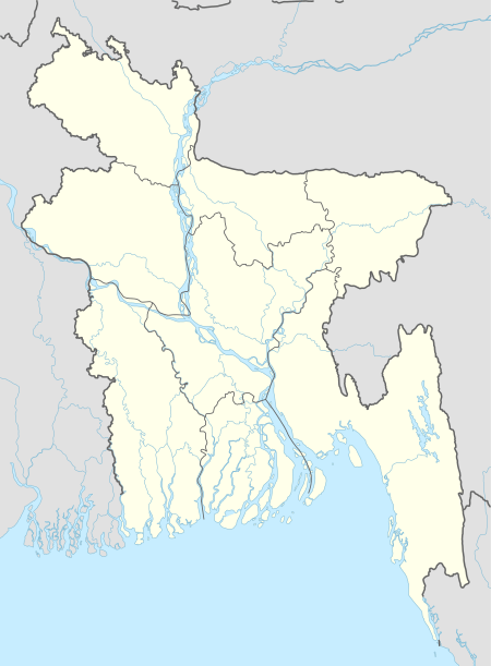
 Bheramara Location in Bangladesh | |
| Coordinates: 24°1′N 88°59.5′E | |
| Country | |
| Division | Khulna Division |
| District | Kushtia District |
| Area | |
| • Total | 153.72 km2 (59.35 sq mi) |
| Population (1991) | |
| • Total | 200,084 |
| • Density | 1,300/km2 (3,400/sq mi) |
| Time zone | UTC+6 (BST) |
| Website | www.bheramara.net |
Geography

Bheramara is located at 24.0167°N 88.9917°E . It has 26384 households and total area 153.72 km².
Bheramara sub-district is located within Kushtia district, Bangladesh and falls roughly within 23o40 -24o10 N and 88o45 -89o20 E. The town of Bheramara has an area of 3.26 km2 and a population of 20,676. Agriculture is the main occupation of the people and the major crops are paddy, wheat, mustard, sweet potato, sunflower, onion, garlic, betel leaf, tobacco, and sugarcane. The survey was conducted in Bheramara town and its immediate vicinity.[2]
Demographics
According to 2011 Bangladesh census, Bhermara had a population of 200,084. Males constituted 49.39% of the population and females 50.61. Muslims formed 97.760% of the population, Hindus 2.216%, Christians 0.005% and others 0.019%. Bheramara had a literacy rate of 48.74% for the population 7 years and above.[3]
As of the 1991 Bangladesh census, Bheramara had a population of 144,221. Males constituted 51.55% of the population, and females 48.45%. This Upazila's eighteen up population was 72,279. Bheramara had an average literacy rate of 28.1% (7+ years), compared to the national average of 32.4% literate.[4]
Administration
Bheramara has 1 municipality,6 Unions, 59 Mauzas/Mahallas, and 74 villages.
See also
- Upazilas of Bangladesh
- Districts of Bangladesh
- Divisions of Bangladesh
References
- Arif Nisir (2012), "Bheramara Upazila", in Sirajul Islam and Ahmed A. Jamal (ed.), Banglapedia: National Encyclopedia of Bangladesh (Second ed.), Asiatic Society of Bangladesh
- American-Eurasian Journal of Sustainable Agriculture, 3(3): 534-541, 2009 ISSN 1995-0748, American Eurasian Network for Scientific Information
- "Bangladesh Population and Housing Census 2011: Zila Report – Kushtia" (PDF). Table P01 : Household and Population by Sex and Residence, Table P05 : Population by Religion, Age group and Residence, Table P09 : Literacy of Population 7 Years & Above by Religion, Sex and Residence. Bangladesh Bureau of Statistics (BBS), Ministry of Planning, Government of the People’s Republic of Bangladesh. Retrieved 9 December 2018.
- "Population Census Wing, BBS". Archived from the original on 2005-03-27. Retrieved November 10, 2006.
