Birrie River
Birrie River, a perennial river that is part of the Upper Darling catchment within the Murray–Darling basin, is located in the north-west slopes region of New South Wales, Australia.
| Birrie Birree River[1] | |
|---|---|
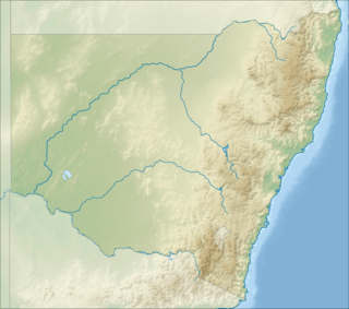 Location of Birrie River mouth in New South Wales | |
| Location | |
| Country | Australia |
| State | New South Wales |
| Region | Orana |
| Physical characteristics | |
| Source | Bokhara River |
| • location | near Goodooga |
| • coordinates | 29°03′11″S 147°29′34″E |
| • elevation | 147 m (482 ft) |
| Mouth | Culgoa River |
• location | north–east of Bourke and north–west of Brewarrina |
• coordinates | 29°45′04″S 146°34′37″E |
• elevation | 115 m (377 ft) |
| Length | 197 km (122 mi) |
| Basin features | |
| River system | Darling River catchment, Murray–Darling basin |
| Tributaries | |
| • right | Yamba Creek, Marion Creek, Wongal Cowal |
| [2] | |
The river leaves the Bokhara River, about 7 kilometres (4.3 mi) north–east of the village of Goodooga, and flows generally south and west, joined by three minor tributaries before reaching its confluence with the Culgoa River, north–east of Bourke and north–west of Brewarrina; descending 32 metres (105 ft) over its 197-kilometre (122 mi) course.[1][2]
References
- "Birrie River". Geographical Names Register (GNR) of NSW. Geographical Names Board of New South Wales. Retrieved 13 January 2013.

- "Map of Birrie River, NSW". Bonzle Digital Atlas of Australia. Retrieved 13 January 2013.
External links
- "Barwon, Darling and Far Western catchments" (map). Office of Environment and Heritage. Government of New South Wales.
This article is issued from Wikipedia. The text is licensed under Creative Commons - Attribution - Sharealike. Additional terms may apply for the media files.