Terrington St John
| Terrington St John | |
|---|---|
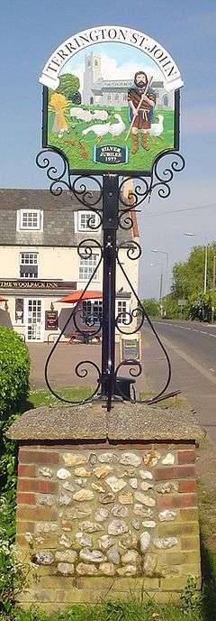 Signpost in Terrington St. John | |
 Terrington St John Terrington St John shown within Norfolk | |
| Area | 8.26 km2 (3.19 sq mi) |
| Population | 891 (2011) |
| • Density | 108/km2 (280/sq mi) |
| OS grid reference | TF537140 |
| Civil parish |
|
| District | |
| Shire county | |
| Region | |
| Country | England |
| Sovereign state | United Kingdom |
| Post town | WISBECH |
| Postcode district | PE14 |
| Police | Norfolk |
| Fire | Norfolk |
| Ambulance | East of England |
| EU Parliament | East of England |
Terrington St John is a village and civil parish in the English county of Norfolk. The village lies to the south of the route of the A47 between Peterborough and Kings Lynn.
It covers an area of 8.26 km2 (3.19 sq mi) and had a population of 882 in 336 households at the 2001 census,[1] the population slightly increasing to 891 at the 2011 Census.[2] For the purposes of local government, it falls within the district of King's Lynn and West Norfolk.
The Church of St John is a Grade I listed building.[3]
See also
Notes
- ↑ Census population and household counts for unparished urban areas and all parishes Archived 2017-02-11 at the Wayback Machine.. Office for National Statistics & Norfolk County Council (2001). Retrieved 20 June 2009.
- ↑ "Parish population 2011". Retrieved 29 August 2015.
- ↑ Historic England. "Church of St John (1264266)". National Heritage List for England.
External links
![]()
This article is issued from
Wikipedia.
The text is licensed under Creative Commons - Attribution - Sharealike.
Additional terms may apply for the media files.