Shernborne
| Shernborne | |
|---|---|
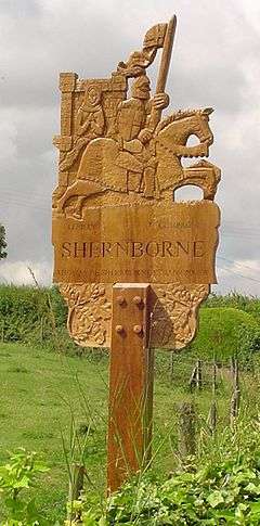 Signpost in Shernborne | |
 Shernborne Shernborne shown within Norfolk | |
| Area | 5.63 km2 (2.17 sq mi) |
| Population | 59 |
| • Density | 10/km2 (26/sq mi) |
| OS grid reference | TF713324 |
| Civil parish |
|
| District | |
| Shire county | |
| Region | |
| Country | England |
| Sovereign state | United Kingdom |
| Post town | KING'S LYNN |
| Postcode district | PE31 |
| Police | Norfolk |
| Fire | Norfolk |
| Ambulance | East of England |
| EU Parliament | East of England |
Shernborne is a civil parish in the English county of Norfolk. It covers an area of 5.63 km2 (2.17 sq mi) and had a population of 59 in 24 households at the 2001 census.[1] The population remained less than 100 at the 2011 Census and is included in the civil parish of Ingoldisthorpe. For the purposes of local government, it falls within the district of King's Lynn and West Norfolk.
Together with the villages of West Newton, Flitcham, and Anmer, it is part of the Royal Sandringham Estate. The village club was shut by the Sandringham Estate and it now stands empty.
Notes
- ↑ Census population and household counts for unparished urban areas and all parishes Archived 2017-02-11 at the Wayback Machine.. Office for National Statistics & Norfolk County Council (2001). Retrieved 20 June 2009.
External links
![]()
This article is issued from
Wikipedia.
The text is licensed under Creative Commons - Attribution - Sharealike.
Additional terms may apply for the media files.