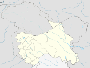
Lar, Jammu and Kashmir
| Lar | |
|---|---|
| Town | |
 Lar Location in Jammu and Kashmir, India  Lar Lar (India) | |
| Coordinates: 34°15′43″N 74°45′18″E / 34.262°N 74.755°ECoordinates: 34°15′43″N 74°45′18″E / 34.262°N 74.755°E | |
| Country |
|
| State | Jammu and Kashmir |
| District | Ganderbal |
| Elevation | 1,650 m (5,410 ft) |
| Population (2011) | |
| • Total | 50,491 |
| Languages | |
| • Official | Urdu |
| Time zone | UTC+5:30 (IST) |
| PIN | 191201 |
| Telephone code | 1942419 |
| Vehicle registration | JK16 |
| Sex ratio | 951 ♂/♀ |
Lar is a town and a notified area committee in Ganderbal district, of Jammu and Kashmir, India. It is a newly established tehsil carved out of Ganderbal Tehsil. It is situated on a newly constructed bypass (NH 1D) at the foothills of the Himalayan mountains in the catchment area of Nallah Sindh.
Geography
Lar (Urdu: لار) is located 34°15′43″N 74°45′18″E / 34.262°N 74.755°E.[1] 6 km north of Ganderbal town at an average elevation of 1,650 metres (5,410 ft).
Demographics
At the 2011 India census,[2] Lar had a population of 50,491 (males 52%, females 48%). The literacy rate was 59.99%, higher than the national average of 59.5%.[3]
References
- ↑ Wikimapia- Lar
- ↑ "Census of India 2001: Data from the 2001 Census, including cities, villages and towns (Provisional)". Census Commission of India. Archived from the original on 16 June 2004. Retrieved 1 November 2008.
- ↑ "Lar Tehsil" (pdf). NRHM. Retrieved 12 June 2012.
This article is issued from
Wikipedia.
The text is licensed under Creative Commons - Attribution - Sharealike.
Additional terms may apply for the media files.