Greenhorn Range
| Greenhorn Range | |
|---|---|
 Greenhorn Range | |
| Highest point | |
| Elevation | 8,622 ft (2,628 m) |
| Coordinates | 45°06′32″N 111°58′05″W / 45.10889°N 111.96806°WCoordinates: 45°06′32″N 111°58′05″W / 45.10889°N 111.96806°W |
| Geography | |
| Country | United States |
| State | Montana |
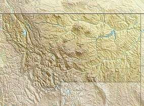
The Greenhorn Range, el. 8,622 feet (2,628 m),[1] is a small mountain range south of Virginia City, Montana in Madison County, Montana.
See also
Notes
This article is issued from
Wikipedia.
The text is licensed under Creative Commons - Attribution - Sharealike.
Additional terms may apply for the media files.
