Gandu
| Gandu Município de Gandu | ||
|---|---|---|
| Municipality | ||
| ||
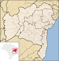 Location of Gandu in Bahia | ||
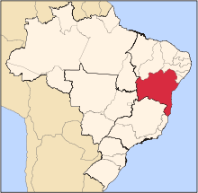
 Gandu Location of Gandu in the Brazil | ||
| Coordinates: 13°44′38″S 39°29′13″W / 13.74389°S 39.48694°WCoordinates: 13°44′38″S 39°29′13″W / 13.74389°S 39.48694°W | ||
| Country |
| |
| Region | Northeast | |
| State |
| |
| Founded | July 28, 1958 | |
| Government | ||
| • Mayor | Ivo Sampaio Peixoto (2013–2016) | |
| Area | ||
| • Total | 243.15 km2 (93.88 sq mi) | |
| Population (2014) | ||
| • Total | 33,097 | |
| • Density | 140/km2 (350/sq mi) | |
| Demonym(s) | Ganduense | |
| Time zone | UTC-3 (BRT) | |

Gandu is a municipality in the state of Bahia in the North-East region of Brazil. Gandu covers 243.15 km2 (93.88 sq mi), and has a population of 33,097 with a population density of 140 inhabitants per square kilometer. Gandu has its origin as Fazenda Corujão, a farm purchased in 1912 by José Amado Costa for the cultivation of cocoa. Corujão became a district of the municipality of Ituberá in 1958, and an independent municipality on July 18, 1962. It consists of two districts: Gandu, the seat of the municipality, and Vila Nova Ibiá.[1]
References
This article is issued from
Wikipedia.
The text is licensed under Creative Commons - Attribution - Sharealike.
Additional terms may apply for the media files.