Diogo Simão
| Diogo Simão | |
|---|---|
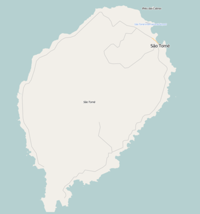 Diogo Simão Location on São Tomé Island | |
| Coordinates: 0°18′54″N 6°41′41″E / 0.3151°N 6.6948°E | |
| Country |
|
| Province | São Tomé |
| District | Mé-Zóchi |
| Population (2008) | |
| • Total | 421 |
| Time zone | UTC+0 (UTC) |
Diogo Simão is a village WSW of the city São Tomé in the mideastern part of the Mé-Zóchi District in the nation of São Tomé and Príncipe. Its population is 421 (2008 est.).[1] The boundaries with the districts of Água Grande and Lobata is to the northeast northeast of Bobo Forro. The subdivision is on the road connecting with Rua 3 de Fevereiro (National Route 3).
Nearby settlements and subdivisions include Bobo Forro to the northeast, Blublu to the northeast, Amparo to the east, Caixão Grande to the southeast, Lemos to the south-southeast and Trindade to the south-southwest.
Population history
| Historical population | ||
|---|---|---|
| Year | Pop. | ±% |
| 2001 (census) | 359 | — |
| 2008 (estimate) | 420 | +17.0% |
Sports
Its football (soccer) club is named Juba Diogo Simão which is a member of the island's and the nation's football association. Its matches are played at Campo de Diogo Simão.[2]
References
- ↑ INE, Evolução da população São-Tomense por localidades, 2001/2007-08
- ↑ Club Profile of Juba Diogo Simão at the Final Ball
| Communities |  | |
|---|---|---|
| University institution | ||
| Sports facilities and complexes |
| |
| Culture | ||