Piedade, São Tomé and Príncipe
| Piedade | |
|---|---|
| Village | |
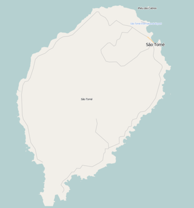 Piedade Location on São Tomé Island | |
| Coordinates: 0°17′32″N 6°40′21″E / 0.29222°N 6.67250°ECoordinates: 0°17′32″N 6°40′21″E / 0.29222°N 6.67250°E | |
| Country |
|
| Province | São Tomé Province |
| District | Mé-Zóchi |
| Population (2008) | |
| • Total | 1,587 |
| Time zone | UTC+0 (UTC) |
Piedade is a small village on São Tomé Island in São Tomé and Príncipe. Its 2008 population was 1,587. It is connected with Rua 3 de Fevereiro which is part of the EN3 that starts from the capital and finished in Monte Café. Nearby places include Trindade in the east and Batepá to the northwest.
Population history
| Historical population | ||
|---|---|---|
| Year | Pop. | ±% |
| 2001 (census) | 1,392 | — |
| 2008 (estimate) | 1,587 | +14.0% |
Education
In the mid-2000s, the Center for Agricultural Technical Improvement was opened; when the University of São Tomé and Príncipe was founded in 2014, it became the Center for Studies for Development.[1]
Notes
- ↑ Federal University of Minas Gerais (9 September 2013). "UFMG discute com o governo de São Tomé e Príncipe criação da 1ª universidade pública" [UFMG talked with the government of São Tomé and Príncipe for the creation of its first public university] (in Portuguese). University of São Paulo: Brazil-Europe Studies Institute.
Further reading
External links
- Map of the archipelago of São Tomé and Príncipe.
- São Tomé and Príncipe.
- worldatlas São Toméand Príncipe.
- Homepage of the Government of the Democratic Republic of São Tomé and Príncipe.
- "São Tomé". sao-tome.com. Retrieved 18 February 2017.
| Communities |  | |
|---|---|---|
| University institution | ||
| Sports facilities and complexes |
| |
| Culture | ||
This article is issued from
Wikipedia.
The text is licensed under Creative Commons - Attribution - Sharealike.
Additional terms may apply for the media files.