Benning Road station
Benning Road | |||||||||||||||
|---|---|---|---|---|---|---|---|---|---|---|---|---|---|---|---|
|
| |||||||||||||||
 | |||||||||||||||
| Location |
4500 Benning Road, Northeast Washington, D.C. 20019 | ||||||||||||||
| Owned by | Washington Metropolitan Area Transit Authority | ||||||||||||||
| Line(s) |
| ||||||||||||||
| Platforms | 1 island platform | ||||||||||||||
| Tracks | 2 | ||||||||||||||
| Connections |
| ||||||||||||||
| Construction | |||||||||||||||
| Structure type | Underground | ||||||||||||||
| Bicycle facilities | 4 racks | ||||||||||||||
| Disabled access | Yes | ||||||||||||||
| Other information | |||||||||||||||
| Station code | G01 | ||||||||||||||
| History | |||||||||||||||
| Opened | November 22, 1980 | ||||||||||||||
| Traffic | |||||||||||||||
| Passengers (2017) |
2,536 daily [1] | ||||||||||||||
| Services | |||||||||||||||
| |||||||||||||||
| Location | |||||||||||||||
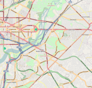 | |||||||||||||||
Benning Road is an island platformed Washington Metro station in the Benning Ridge neighborhood of Northeast Washington, D.C., United States. The station was opened on November 22, 1980, and is operated by the Washington Metropolitan Area Transit Authority (WMATA). Providing service for the Blue and Silver Lines, the station is located in a residential area near the intersection of Benning Road and East Capitol Street. It is the first station after the Blue and Silver Lines diverge from the Orange Line east of the Anacostia River, and also the last station in the District of Columbia going east. In December 2012, Benning Road was one of five stations added to the route of the Silver Line, which was originally supposed to end at the Stadium–Armory station, but was extended into Prince George's County, Maryland to the Largo Town Center station (the eastern terminus of the Blue Line) due to safety concerns about a pocket track just east of Stadium-Armory.[2] Silver Line service at Benning Road began on July 26, 2014.[3]
The station opened on November 22, 1980, and coincided with the completion of 3.52 miles (5.66 km) of rail east of the Stadium–Armory station and the opening of the Addison Road and Capitol Heights stations.[4]
Station layout
| G | Street level | Exit/entrance |
| M | Mezzanine | One-way faregates, ticket machines, station agent |
| P Platform level |
Westbound | ← ← |
| Island platform, doors will open on the left | ||
| Eastbound | → | |
References
- ↑ "Metrorail Average Weekday Passenger Boardings" (PDF). WMATA. Retrieved August 28, 2018.
- ↑ Aratani, Lori (December 5, 2012). "Metro details Silver Line service changes". The Washington Post. Retrieved July 8, 2016.
- ↑ Halsey, Ashley (July 26, 2014). "All aboard! Metro's new Silver Line rolls down the tracks for the first time". The Washington Post. Retrieved July 8, 2016.
- ↑ Cooke, Janet (November 23, 1980), "Three new Metro stations have a festive first day", The Washington Post, p. D1
External links
- WMATA: Benning Road Station
- StationMasters Online: Benning Road Station
- The Schumin Web Transit Center: Benning Road Station
- Benning Road entrance from Google Maps Street View
Coordinates: 38°53′25.5″N 76°56′15.5″W / 38.890417°N 76.937639°W