Simialuk
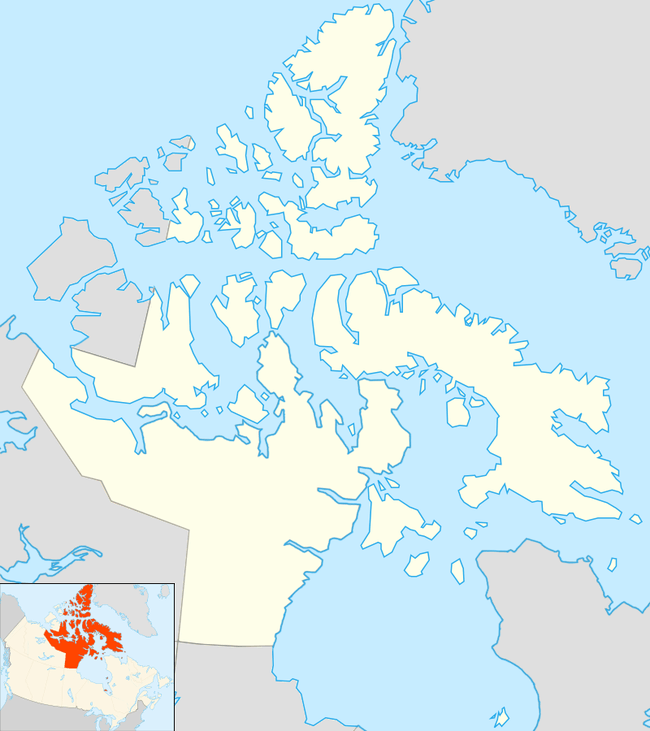
Simialuk (Inuktitut syllabics: ᓯᒥᐊᓗᒃ[1]) formerly Ormonde Island[2] is an irregularly shaped island located at the eastern opening of the Fury and Hecla Strait. Situated in Nunavut's Qikiqtaaluk Region within the northern Canadian Arctic, the island is north of the Melville Peninsula's Northeast Cape (separated by the Labrador Narrows), south of Baffin Island (Elder Island lies between them), and west of Foxe Basin. It is approximately 91 m (299 ft) above sea level.[3]
 Simialuk | |
| Geography | |
|---|---|
| Location | Northern Canada |
| Coordinates | 69°46′12″N 82°38′38″W |
| Archipelago | Arctic Archipelago |
| Administration | |
Canada | |
| Territory | Nunavut |
| Region | Qikiqtaaluk |
| Demographics | |
| Population | Uninhabited |
References
- Simialuk
- Simialuk (Formerly Ormonde Island)
- "Ormonde Island ca. 91 m". geonames.org. Retrieved 2008-11-29.
This article is issued from Wikipedia. The text is licensed under Creative Commons - Attribution - Sharealike. Additional terms may apply for the media files.