Lacy Island
Lacy Island is one of the many uninhabited Canadian arctic islands in Qikiqtaaluk Region, Nunavut. It is located at the confluence of Hudson Strait and the Labrador Sea. The island, a member of the Button Islands, is situated in the northeast part of the grouping.
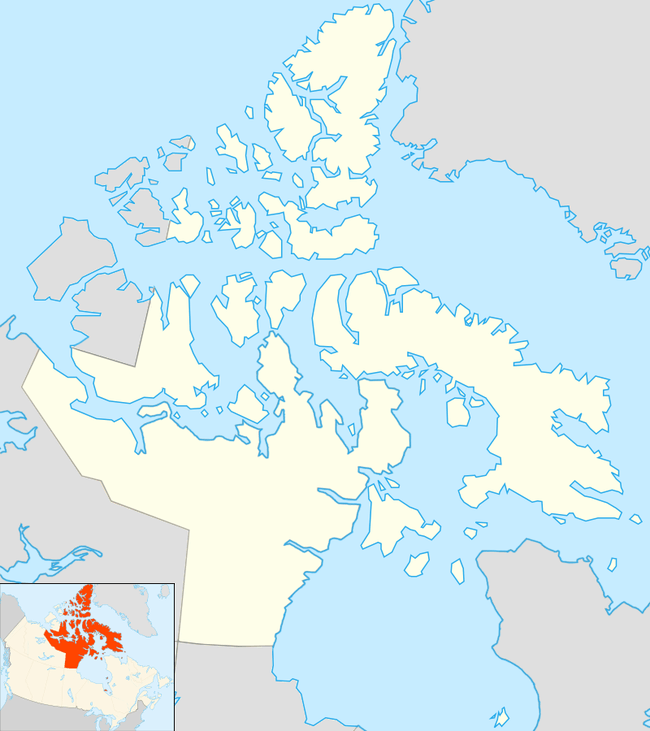 Lacy Island Location in Nunavut | |
| Geography | |
|---|---|
| Location | Confluence of Hudson Strait and the Labrador Sea |
| Coordinates | 60°40′32″N 64°35′54″W |
| Archipelago | Canadian Arctic Archipelago |
| Highest elevation | 290 m (950 ft) |
| Administration | |
| Nunavut | Nunavut |
| Region | Qikiqtaaluk |
| Demographics | |
| Population | Uninhabited |
| Source: Lacy Island at Atlas of Canada | |
Other islands in the immediate vicinity include Goodwin Island, MacColl Island, Lawson Island, Erhardt Island, and Observation Island.[1]
Geography
Lacy Island has the highest mount of all the Button Islands, rising to 290 m (950 ft) above sea level.[2] The island is square in shape and it offers a sheltered landing area on its southwest side.[3]
References
- "Lacy Island". travelingluck.com. Retrieved 2009-07-19.
- Dodd, G. J.; Benson, G. P.; Watts, D. T. (1976). Arctic pilot. Hydrographer of the Navy. p. 192. Retrieved 3 May 2012.
- "Sector13.HudsonStrait" (PDF). National Geospatial Intelligence Agency. pollux.nss.nima.mil. p. 7. Archived from the original (PDF) on October 24, 2004. Retrieved 2009-02-17.
This article is issued from Wikipedia. The text is licensed under Creative Commons - Attribution - Sharealike. Additional terms may apply for the media files.