Russell Island (Nunavut)
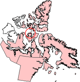
Russell Island is an uninhabited island of the Canadian Arctic Archipelago in the Qikiqtaaluk Region of Nunavut, Canada. It is located in the Parry Channel, separated from the northern tip of Prince of Wales Island by the narrow Baring Channel. The western third of the island is separated from the other two thirds by a narrow lake and its outlet. At the northern end of the lake there is an isthmus just 1.1 km (0.68 mi) wide and this joins the two parts of the island. With a total area of 940 km2 (360 sq mi), it is the largest island offshore of Prince of Wales Island.[1]
 | |
 Russell Island  Russell Island | |
| Geography | |
|---|---|
| Location | Parry Channel |
| Coordinates | 74°00′N 98°25′W |
| Archipelago | Canadian Arctic Archipelago |
| Area | 940 km2 (360 sq mi) |
| Highest elevation | 240 m (790 ft) |
| Administration | |
Canada | |
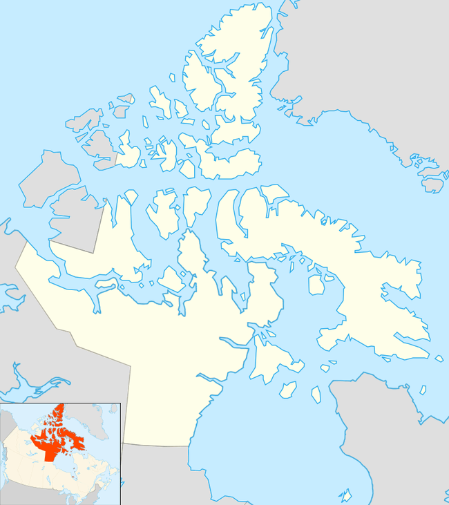
| Territory | Nunavut |
| Region | Qikiqtaaluk |
| Demographics | |
| Population | Uninhabited |
William Edward Parry was the first European to sight the island in 1819.[2]
Another, much smaller Russell Island lies off the northwest tip of Devon Island. A third one lies in the West Foxe Islands, in Hudson Strait, southwest of Alareak Island.
References
- "Russell Island". oceandots.com. 2006-07-31. Archived from the original on December 23, 2010. Retrieved 2008-05-11.CS1 maint: unfit url (link)
- Parry, William Edward (1821). Journal of a voyage for the discovery of a North-West passage from the Atlantic to the Pacific: performed in the years 1819-20. London: John Murray.
William Edward Parry 1819.
Further reading
- Green, David E. C.; The Late Quaternary History of Russell Island, N.W.T., Ottawa: National Library of Canada, 1988, ISBN 0-315-32564-X
External links
- Russell Island (Nunavut) in the Atlas of Canada - Toporama; Natural Resources Canada
- Russell Island (Nunavut) (off Devon Island) in the Atlas of Canada - Toporama; Natural Resources Canada
- Russell Island (Nunavut) (West Foxe Islands) in the Atlas of Canada - Toporama; Natural Resources Canada