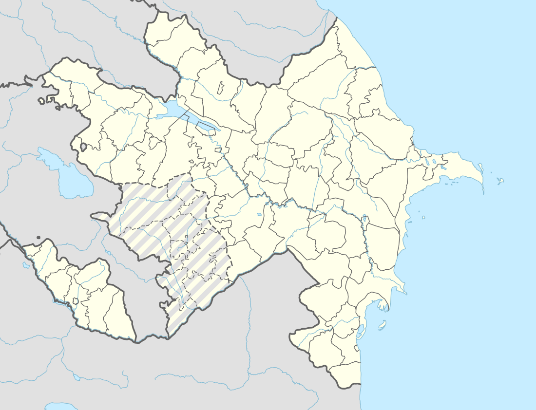
Khojavend (town)
Khojavend (Azerbaijani: Xocavənd), or Martuni (Armenian: Մարտունի) is a town and the provincial capital of Martuni Region of the de facto independent Republic of Artsakh. However, it is a de jure part of the Republic of Azerbaijan, with the status of an administrative center of the surrounding Khojavend District. It is located approximately 41 kilometers east of the Republic's capital Stepanakert. It has a population of 5,700 as of 2015.[1]
Khojavend Martuni Xocavənd Մարտունի | |
|---|---|
 Martuni | |
 Khojavend Martuni | |
| Coordinates: 39°47′43″N 47°06′47″E | |
| Country | De jure De facto |
| Region District | Martuni Khojavend |
| Elevation | 390 m (1,280 ft) |
| Population (2015) | |
| • Total | 5,700 [1] |
| Time zone | UTC+4 (UTC) |
| Area code(s) | (+374) 478 |
History
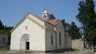
Excavations in Khojavand have uncovered a number of tombs dating to the Neolithic and Bronze Ages. Martuni is also home to several ruined medieval churches and remains of settlements, and khachkars have also been preserved.[2]
During Soviet times, Khojavand was the capital of the eponymous district located in the Nagorno-Karabakh Autonomous Oblast. The population of the town, grouped into kolkhozes, largely occupied itself with raising livestock, grape growing, wheat cultivation, and gardening.[2]
Martuni, and the district itself, became a frontline city during the latter stages of the Nagorno-Karabakh War. In early February 1992, Vazgen Sargsyan, the then Defence Minister of Armenia, appointed Monte Melkonian as Chief of Headquarters and assigned him to lead the defense of Martuni and the surrounding regions.[3] On October 2, 1992, Armenian armed forces occupied Khojavend region of the Republic of Azerbaijan. As a result, 1,723 houses were burnt down in 10 villages settled by Azerbaijanis, 47 industrial and 144 agricultural facilities were devastated.[4]
Melkonian remained as regional commander until he was killed in combat in June 1993.[5]
Climate
| Climate data for Martuni (Khojavend) | |||||||||||||
|---|---|---|---|---|---|---|---|---|---|---|---|---|---|
| Month | Jan | Feb | Mar | Apr | May | Jun | Jul | Aug | Sep | Oct | Nov | Dec | Year |
| Average high °C (°F) | 5.5 (41.9) |
6.4 (43.5) |
10.1 (50.2) |
17.5 (63.5) |
21.7 (71.1) |
26.6 (79.9) |
29.8 (85.6) |
29.7 (85.5) |
24.8 (76.6) |
19.1 (66.4) |
12.6 (54.7) |
8.0 (46.4) |
17.7 (63.8) |
| Average low °C (°F) | −1.7 (28.9) |
−1.0 (30.2) |
1.8 (35.2) |
7.6 (45.7) |
12.1 (53.8) |
16.4 (61.5) |
19.5 (67.1) |
18.4 (65.1) |
15.2 (59.4) |
10.2 (50.4) |
4.9 (40.8) |
0.6 (33.1) |
8.7 (47.6) |
| Average precipitation mm (inches) | 20 (0.8) |
26 (1.0) |
36 (1.4) |
49 (1.9) |
68 (2.7) |
55 (2.2) |
23 (0.9) |
23 (0.9) |
28 (1.1) |
44 (1.7) |
31 (1.2) |
25 (1.0) |
428 (16.8) |
| Source: http://en.climate-data.org/location/21894/ | |||||||||||||
Population
| Ethnic group | Number, 1970 sa.[6] | Ratio, 1970 sa.[6] | Number, 1979 sa.[7] | Ratio, 1979 sa.[7] |
|---|---|---|---|---|
| Total | 4 654 | 100 % | 5 497 | 100 % |
| Armenian | 3 120 | 67 % | 3 588 | 65.3 % |
| Azerbaijani | 1 482 | 31.8 % | 1 862 | 33.9 % |
| Russian | 44 | 0.9 % | 41 | 0.7 % |
| Ukrainian | 3 | 0.1 % | 1 | 0.0 % |
| Other | 5 | 0.2 % | 5 | 0.1 % |
References
- http://stat-nkr.am/files/publications/2015/LXH_tverov_2015.pdf
- (in Armenian) Anon. «Մարտունի» (Martuni). Armenian Soviet Encyclopedia. vol. vii. Yerevan: Armenian Academy of Sciences, 1981, p. 352.
- See Markar Melkonian (2005). My Brother's Road: An American's Fateful Journey to Armenia. New York: I.B. Tauris, pp. 207ff. ISBN 1-85043-635-5.
- https://report.az/en/nagorno-karabakh/25-years-passed-since-occupation-of-khojavend-region/
- Melkonian 2005, p. 264.
- Ethno-Caucasus, Этнодемография Кавказа: Мартунинский район (1970 г.)
- Ethno-Caucasus, Этнодемография Кавказа: Мартунинский район (1979 г.)
| Capital city | ||
|---|---|---|
| Provinces | ||
| Provincial capitals | ||
| Other urban communities | ||
1 Claimed by the Republic of Artsakh but partly under Azerbaijani control. | ||