Gloucester Island National Park
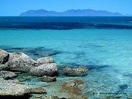
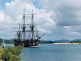
Gloucester Island is a national park in Queensland, Australia, 950 km northwest of Brisbane.[1][2] It is visible from the town of Bowen. The island was seen and erroneously named "Cape Gloucester" by British explorer James Cook in 1770.[3] The name "Cape Gloucester" has been used informally for areas on or near Gloucester Island.
| Gloucester Island National Park Queensland | |
|---|---|
IUCN category II (national park) | |
 Gloucester Island | |
 Gloucester Island National Park | |
| Nearest town or city | Bowen |
| Coordinates | 20°00′55″S 148°27′18″E |
| Established | 1994 |
| Area | 29.60 km2 (11.43 sq mi) |
| Managing authorities | Queensland Parks and Wildlife Service |
| See also | Protected areas of Queensland |
See also
References
- "About Gloucester Islands". Department of National Parks, Recreation, Sport and Racing. The State of Queensland. 8 October 2012. Retrieved 2 January 2015.
- Google (2 January 2015). "Distance from Gloucester Island to Brisbane" (Map). Google Maps. Google. Retrieved 2 January 2015.
- "Whitsundays national park islands: Nature, culture and history". Department of National Parks, Recreation, Sport and Racing. The State of Queensland. 19 October 2012. Retrieved 2 January 2015.
This article is issued from Wikipedia. The text is licensed under Creative Commons - Attribution - Sharealike. Additional terms may apply for the media files.