Zederik
| Zederik | ||
|---|---|---|
| Municipality | ||
 Skyline of Tienhoven | ||
| ||
.svg.png) Location in South Holland | ||
| Coordinates: 51°55′N 5°0′E / 51.917°N 5.000°ECoordinates: 51°55′N 5°0′E / 51.917°N 5.000°E | ||
| Country | Netherlands | |
| Province | South Holland | |
| Established | 1 January 1986 | |
| Government[1] | ||
| • Body | Municipal council | |
| • Mayor | André Bonthuis (acting) (PvdA) | |
| Area[2] | ||
| • Total | 76.50 km2 (29.54 sq mi) | |
| • Land | 73.73 km2 (28.47 sq mi) | |
| • Water | 2.77 km2 (1.07 sq mi) | |
| Elevation[3] | 0 m (0 ft) | |
| Population (August 2017)[4] | ||
| • Total | 13,951 | |
| • Density | 189/km2 (490/sq mi) | |
| Time zone | UTC+1 (CET) | |
| • Summer (DST) | UTC+2 (CEST) | |
| Postcode | 4126–4128, 4230–4235, 4243, 4245 | |
| Area code | 0183, 0345, 0347 | |
| Website |
www | |

Zederik (![]()
The municipality of Zederik was formed on 1 January 1986, through the merger of the former municipalities of Ameide, Hei- en Boeicop, Leerbroek, Lexmond, Meerkerk, Nieuwland, and Tienhoven. The municipality is named after the Old Zederik, a small canal running through its area.
The population centres of Zederik consist of Ameide, Hei- en Boeicop, Leerbroek, Lexmond, Meerkerk, Nieuwland, and Tienhoven.
Topography
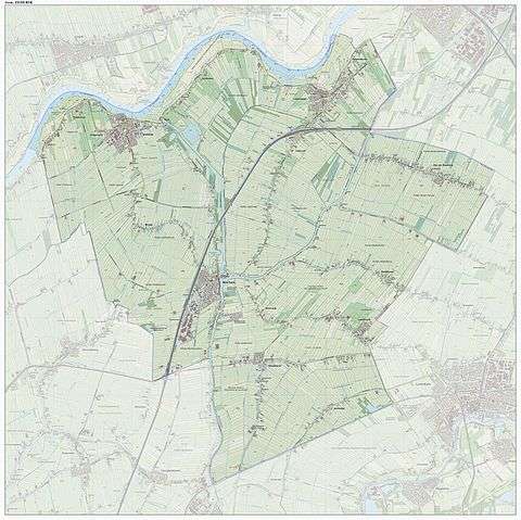
Dutch Topographic map of the municipality of Zederik, Sept. 2014.
References
- ↑ "College" [Board] (in Dutch). Gemeente Zederik. Retrieved 30 August 2013.
- ↑ "Kerncijfers wijken en buurten" [Key figures for neighbourhoods]. CBS Statline (in Dutch). CBS. 2 July 2013. Retrieved 12 March 2014.
- ↑ "Postcodetool for 4231BP". Actueel Hoogtebestand Nederland (in Dutch). Het Waterschapshuis. Retrieved 30 August 2013.
- ↑ "Bevolkingsontwikkeling; regio per maand" [Population growth; regions per month]. CBS Statline (in Dutch). CBS. 27 October 2017. Retrieved 27 October 2017.
External links
| Wikimedia Commons has media related to Zederik. |
Places adjacent to Zederik | ||||||||||
|---|---|---|---|---|---|---|---|---|---|---|
| ||||||||||

This article is issued from
Wikipedia.
The text is licensed under Creative Commons - Attribution - Sharealike.
Additional terms may apply for the media files.