Wied (river)
| Wied | |
|---|---|
 | |
| Country | Germany |
| Physical characteristics | |
| Main source |
Westerwald 454 m (1,490 ft) |
| River mouth |
Rhine 50°26′29″N 7°26′33″E / 50.44139°N 7.44250°ECoordinates: 50°26′29″N 7°26′33″E / 50.44139°N 7.44250°E |
| Length | 102.8 km (63.9 mi) [1] |
| Basin features | |
| Progression | Rhine→ North Sea |
| Basin size | 770 km2 (300 sq mi) [1] |

Wied at Roßbach

Wiedbridge and Furt in Michelbach
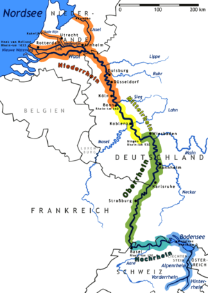
The Wied is a river in Rhineland-Palatinate, Germany, and the right tributary of the Rhine. It is 103 km long. It flows mainly south-west, through the Westerwald hills. Its source is near Dreifelden. It flows through Altenkirchen, Neustadt (Wied) and Waldbreitbach, and ends in the Rhine in Neuwied.
Tributaries
Among the tributaries of the Wied are the following:
|
Left of the Wied
|
Right of the Wied
|
References
| Wikimedia Commons has media related to Wied (river). |
This article is issued from
Wikipedia.
The text is licensed under Creative Commons - Attribution - Sharealike.
Additional terms may apply for the media files.