Ill (Vorarlberg)
| Ill | |
|---|---|
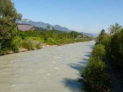 The Ill near Feldkirch-Gisingen. | |
| Country | Austria |
| Province | Vorarlberg |
| Physical characteristics | |
| Main source |
2,240 m (7,350 ft) 46°52′9″N 10°6′32″E / 46.86917°N 10.10889°E |
| River mouth |
1,811 m (5,942 ft) 47°17′57″N 9°33′31″E / 47.29917°N 9.55861°ECoordinates: 47°17′57″N 9°33′31″E / 47.29917°N 9.55861°E |
| Length | 72 km (45 mi) |
| Basin features | |
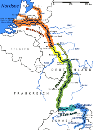
| Progression | Rhine→ North Sea |
The Ill (all capitals: ILL) is a 72 km long tributary of the Rhine in the western Austrian province of Vorarlberg.
It flows from the northern slopes of the Silvretta mountain range and then runs north-west through Vorarlberg. The Ill passes through the Montafon and Walgau valleys and the town Feldkirch. It joins the river Rhine a few kilometers northwest of Feldkirch ("Illspitz"), at the border with Switzerland. The Ill has several dams with hydroelectric power stations.
This article is issued from
Wikipedia.
The text is licensed under Creative Commons - Attribution - Sharealike.
Additional terms may apply for the media files.