Moder (river)
| Moder | |
|---|---|
 Map of the Moder's drainage basin | |
| Country | France |
| Physical characteristics | |
| Main source |
Moderfeld 330 m (1,080 ft) 48°53′44″N 07°18′58″E / 48.89556°N 7.31611°E |
| River mouth |
Rhine 115 m (377 ft) 48°50′13″N 08°06′12″E / 48.83694°N 8.10333°ECoordinates: 48°50′13″N 08°06′12″E / 48.83694°N 8.10333°E |
| Length | 93 km (58 mi) |
| Discharge |
|
| Basin features | |
| Basin size | 1,720 km2 (660 sq mi) |
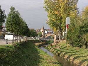
The Moder at Haguenau
The Moder (French: la Moder, German: die Moder) is a 93-kilometre (58 mi) long river in northeastern France; it begins in Zittersheim and ends at the river Rhine.
Etymology
The name of the river comes from Matrae—the Gallic river goddess.
Course
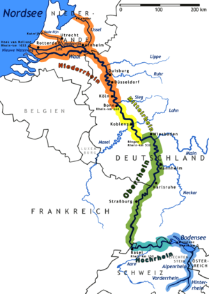
Its source of the Moder is near the hamlet Moderfeld, in the commune of Zittersheim. It joins the Rhine near the Iffezheim Lock, in Germany. The four primary tributaries of the Moder are the Zinsel du Nord River, Zorn River, Rothbach Stream, and Soultzbach Stream.
The river passes through the following communes:
References
- This article is based on the equivalent article from the French Wikipedia, consulted on 24 June 2015.
External links
This article is issued from
Wikipedia.
The text is licensed under Creative Commons - Attribution - Sharealike.
Additional terms may apply for the media files.