Tunitas, California
| Tunitas, California | |
|---|---|
| Ghost town | |
 Tunitas, California Location within the state of California | |
| Coordinates: 37°22′59″N 122°23′57″W / 37.38306°N 122.39917°WCoordinates: 37°22′59″N 122°23′57″W / 37.38306°N 122.39917°W | |
| Country | United States |
| State | California |
| County | San Mateo |
| Time zone | UTC-8 (Pacific (PST)) |
| • Summer (DST) | UTC-7 (PDT) |
Tunitas, California was a small unincorporated community in San Mateo County. It was originally located on State Route 1 until that state route was moved to the west. It was also renamed Lobitos.[1]
References
Municipalities and communities of San Mateo County, California, United States | ||
|---|---|---|
| Cities and towns | 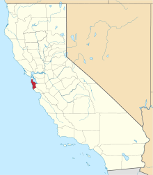 | |
| CDPs | ||
| Unincorporated communities | ||
| Ghost towns | ||
| Bodies of water |
|  |
|---|---|---|
| Counties | ||
| Major cities | ||
| Cities and towns 100k–250k | ||
| Cities and towns 50k–99k | ||
| Cities and towns 25k-50k | ||
| Cities and towns 10k–25k |
| |
| Sub-regions | ||
This article is issued from
Wikipedia.
The text is licensed under Creative Commons - Attribution - Sharealike.
Additional terms may apply for the media files.