Stillwater Pond State Park
| Stillwater Pond State Park | |
| Connecticut State Park | |
| Country | |
|---|---|
| State | |
| County | Litchfield |
| Town | Torrington |
| Elevation | 732 ft (223 m) [1] |
| Coordinates | 41°50′01″N 73°08′53″W / 41.83361°N 73.14806°WCoordinates: 41°50′01″N 73°08′53″W / 41.83361°N 73.14806°W [1] |
| Area | 226 acres (91 ha) [2] |
| Established | Unspecified |
| Management | Connecticut Department of Energy and Environmental Protection |
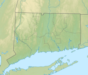 Location in Connecticut | |
| Website: Stillwater Pond State Park | |
Stillwater Pond State Park is a public recreation area covering 226 acres (91 ha) in the town of Torrington, Connecticut. The state park surrounds Stillwater Pond, a 100-acre (40 ha) impoundment on the West Branch Naugatuck River.[3] Fishing, boating, and a paved boat ramp are offered.[4][5]
References
- 1 2 "Stillwater Pond Dam". Geographic Names Information System. United States Geological Survey.
- ↑ "Appendix A: List of State Parks and Forests" (PDF). State Parks and Forests: Funding. Staff Findings and Recommendations. Connecticut General Assembly. January 23, 2014. p. A-3. Retrieved October 14, 2017.
- ↑ "Stillwater Pond" (PDF). Connecticut Department of Energy and Environmental Protection. Archived from the original (PDF) on April 17, 2014. Retrieved April 10, 2014.
- ↑ "Stillwater Pond State Park". State Parks and Forests. Connecticut Department of Energy and Environmental Protection. Retrieved February 5, 2013.
- ↑ "Stillwater Pond Boat Launch". State Parks and Forests. Connecticut Department of Energy and Environmental Protection. June 5, 2017. Retrieved October 14, 2017.
External links
- Stillwater Pond State Park Connecticut Department of Energy and Environmental Protection
This article is issued from
Wikipedia.
The text is licensed under Creative Commons - Attribution - Sharealike.
Additional terms may apply for the media files.