Mount Riga State Park
| Mount Riga State Park | |
| Connecticut State Park | |
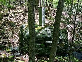 Connecticut-Massachusetts boundary marker in Sages Ravine near Connecticut Route 41 and Mount Riga State Park. | |
| Country | |
|---|---|
| State | |
| County | Litchfield |
| Town | Salisbury |
| Elevation | 886 ft (270 m) [1] |
| Coordinates | 42°02′07″N 73°26′02″W / 42.03528°N 73.43389°WCoordinates: 42°02′07″N 73°26′02″W / 42.03528°N 73.43389°W [1] |
| Area | 276 acres (112 ha) [2] |
| Established | 1954 [3] |
| Management | Connecticut Department of Energy and Environmental Protection |
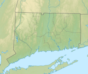 Location in Connecticut | |
| Website: Mount Riga State Park | |
Mount Riga State Park is an undeveloped public recreation area located in the town of Salisbury, Connecticut. The state park offers opportunities for hiking and bow hunting.[4] The Undermountain Trail connects to the northernmost section of the Appalachian Trail in Connecticut from the trail head at Mount Riga State Park's parking lot on Connecticut Route 41. The park is managed by the Connecticut Department of Energy and Environmental Protection.
References
- 1 2 "Mount Riga State Park". Geographic Names Information System. United States Geological Survey.
- ↑ "Appendix A: List of State Parks and Forests" (PDF). State Parks and Forests: Funding. Staff Findings and Recommendations. Connecticut General Assembly. January 23, 2014. p. A-2. Retrieved October 27, 2017.
- ↑ "State Parks". State Register and Manual 1934. State of Connecticut. 1954. p. 300. Retrieved October 27, 2017.
- ↑ "Mount Riga State Park". State Parks and Forests. Connecticut Department of Energy and Environmental Protection. Retrieved February 5, 2013.
External links
- Mount Riga State Park Connecticut Department of Energy and Environmental Protection
This article is issued from
Wikipedia.
The text is licensed under Creative Commons - Attribution - Sharealike.
Additional terms may apply for the media files.