Sockburn, New Zealand
| Sockburn | |
|---|---|
| Suburb | |
 Sockburn | |
| Coordinates: 43°32′06″S 172°33′00″E / 43.535°S 172.55°ECoordinates: 43°32′06″S 172°33′00″E / 43.535°S 172.55°E | |
| Population (2013) | |
| • Total | 6,342 |
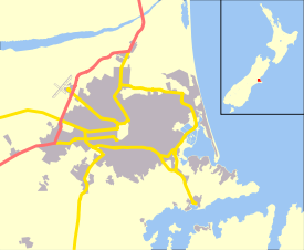
Sockburn is an industrial suburb of Christchurch, New Zealand, located between Hornby and Riccarton, some 7 kilometres (4.3 mi) west of the Christchurch city centre. The suburb is roughly bounded by the triangle formed by State Highway 1 in the west, Main South Road (SH73a) in the south and SH73 in the north. The suburb of Wigram, containing the city's former RNZAF base (now an aviation museum) is located nearby. One of the city's main horseracing circuits, Riccarton Racecourse, is located close to Sockburn's northern edge, and Racecourse was the initial name for the area. The name Sockburn is likely to have come from the village of Sockburn in County Durham, England.[1]
The name of Sockburn is most often currently associated with its role in arterial routes south from the city, with Main South Road (formerly part of State Highway 1) crossing the Sockburn Overbridge and having a major junction at the Sockburn roundabout, where the road splits into two main routes to the city, one extending through the commercial heart of Riccarton, and the other, Blenheim Road, passing to the south through a light industrial area.
The population of Sockburn was 6,342 in the 2013 Census, an increase of 639 people since the previous census in 2006.[2] It has an area of 2.74 km and it's density is 2557/km . Most people living there was 15 to 64 years old.

References
| Wikimedia Commons has media related to Sockburn, New Zealand. |
- ↑ Reed, A.W. (1975) Place names of New Zealand. Wellington: A.H. & A.W. Reed. p. 382
- ↑ 2013 Census QuickStats about a place:Sockburn