Phillipstown, New Zealand
| Phillipstown | |
|---|---|
 Phillipstown | |
| Coordinates: 43°32′30″S 172°39′14″E / 43.54167°S 172.65389°ECoordinates: 43°32′30″S 172°39′14″E / 43.54167°S 172.65389°E | |
| Area | |
| • Total | 1 km2 (0.4 sq mi) |
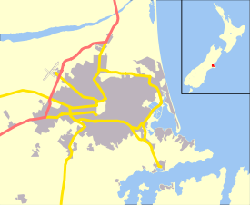
Phillipstown is a small inner suburb of the city of Christchurch, New Zealand. It lies south-east of the city centre being bordered by Cashel Street to the north, Aldwins Road to the east, Ferry Road to the south, and Fitzgerald Avenue to the west.
The Church of the Good Shepherd, a Category I heritage building registered by the New Zealand Historic Places Trust, was located in the suburb until its demolition after the 2011 Christchurch earthquake.[1]
References
- ↑ "Church of the Good Shepherd". Register of Historic Places. Heritage New Zealand.
This article is issued from
Wikipedia.
The text is licensed under Creative Commons - Attribution - Sharealike.
Additional terms may apply for the media files.